Terrace Bay Airport
| Terrace Bay Airport | |||||||||||
|---|---|---|---|---|---|---|---|---|---|---|---|
|
IATA: | |||||||||||
| Summary | |||||||||||
| Airport type |
| ||||||||||
| Operator |
| ||||||||||
| Location | Terrace Bay, Ontario | ||||||||||
| Time zone | EST (UTC−05:00) | ||||||||||
| • Summer (DST) | EDT (UTC−04:00) | ||||||||||
| Elevation AMSL | 950 ft / 290 m | ||||||||||
| Coordinates | 48°48′48″N 087°05′58″W / 48.81333°N 87.09944°WCoordinates: 48°48′48″N 087°05′58″W / 48.81333°N 87.09944°W | ||||||||||
| Map | |||||||||||
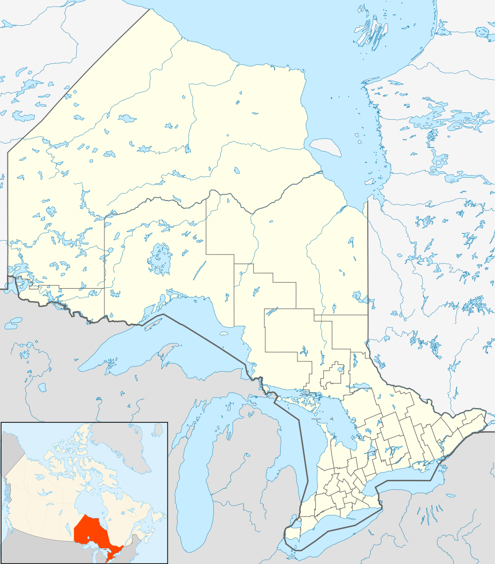 CYTJ Location in Ontario | |||||||||||
| Runways | |||||||||||
| |||||||||||
|
Source: Canada Flight Supplement[1] | |||||||||||
Terrace Bay Airport (IATA: YTJ, ICAO: CYTJ) is an abandoned airport that was located 2.0 nautical miles (3.7 km; 2.3 mi) north of Terrace Bay, Ontario, Canada.
Terrace Bay Council voted in 2005 to close the airport's runway, saving the community roughly $40,000 a year. Ministry of Natural Resources, Hydro and emergency helicopters will still have access to the facility year round.
References
- ↑ Canada Flight Supplement. Effective 0901Z 15 September 2016 to 0901Z 10 November 2016
External links
- Terrace Bay Airport on COPA's Places to Fly airport directory
- Accident history for YTJ: Terrace Bay Airport at Aviation Safety Network
- Past three hours METARs, SPECI and current TAFs for Terrace Bay Airport from Nav Canada as available.
| By name | |
|---|---|
| By location indicator | |
| By province/territory | |
| By region | |
| National Airports System | |
| Related | |
| |
This article is issued from Wikipedia - version of the 12/4/2016. The text is available under the Creative Commons Attribution/Share Alike but additional terms may apply for the media files.