Tetiiv
| Tetiiv Тетіїв | |||
|---|---|---|---|
| Town | |||
|
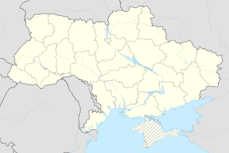
Church in Tetiiv | |||
| |||
 Tetiiv | |||
| Coordinates: UA 49°22′15″N 29°41′24″E / 49.37083°N 29.69000°ECoordinates: UA 49°22′15″N 29°41′24″E / 49.37083°N 29.69000°E | |||
| Country | Ukraine | ||
| Oblast | Kyiv Region | ||
| Raion | Tetiiv District | ||
| Founded | 1185 | ||
| Population (2007) | |||
| • Total | 13,518 | ||
| Time zone | EET (UTC+2) | ||
| • Summer (DST) | EEST (UTC+3) | ||
| Area code(s) | +380 4560 | ||
| Website |
www | ||
Tetiiv (Ukrainian: Тетіїв, Yiddish: טיטיעוו) is a city of Kyiv Region . Tetiiv is located in the Dnipro Upland on the Ros River approximately 148 km (92 mi) south of Kyiv. Population: 13,329 (2013 est.)[1]. In 2001, population was 14,944.
Tetiiv is an administrative center]] of Tetiiv district of Kyiv Region. Tetiiv has a railway station on the Southwestern Railways Koziatyn - Zhashkiv line.
Gallery
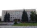 Tetiiv district administration
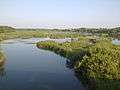 Nature reserve near Tetiiv
References
- ↑ "Чисельність наявного населення України (Actual population of Ukraine)" (in Ukrainian). State Statistics Service of Ukraine. Retrieved 21 January 2015.
External links
| Raions | |||||||
|---|---|---|---|---|---|---|---|
| Cities |
| ||||||
| |||||||
This article is issued from Wikipedia - version of the 11/19/2016. The text is available under the Creative Commons Attribution/Share Alike but additional terms may apply for the media files.