Kudumbimalai
| Kudumbimalai குடும்பிமலை | |
|---|---|
| Town | |
|
Kudumbimalai | |
 Kudumbimalai | |
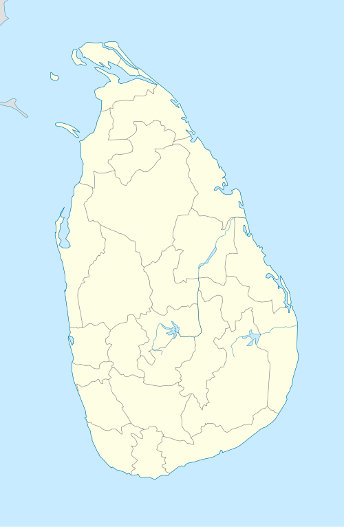
| Coordinates: 7°52′0″N 81°32′0″E / 7.86667°N 81.53333°E | |
| Country | Sri Lanka |
| Province | Eastern |
| District | Batticaloa |
| DS Division | Koralai Pattu South |
.jpg)
Kudumbimalai[1] is a region in the west of Batticaloa District, Sri Lanka. It consists of a rock formation and a thick jungle. The area is very close to Polonnaruwa District border.
Kudumbimalai in Tamil translates to Hair-knot-rock. British colonists from the past named the rock Baron's Cap.
References
- ↑ {குடும்பிமலை ஒரு எச்சக்குன்று|url=http://thavasilearningcity.blogspot.com/2015/02/blog-post_6.html}
This article is issued from Wikipedia - version of the 12/4/2016. The text is available under the Creative Commons Attribution/Share Alike but additional terms may apply for the media files.