Tokor
| Tokor | |
|---|---|
| Village | |
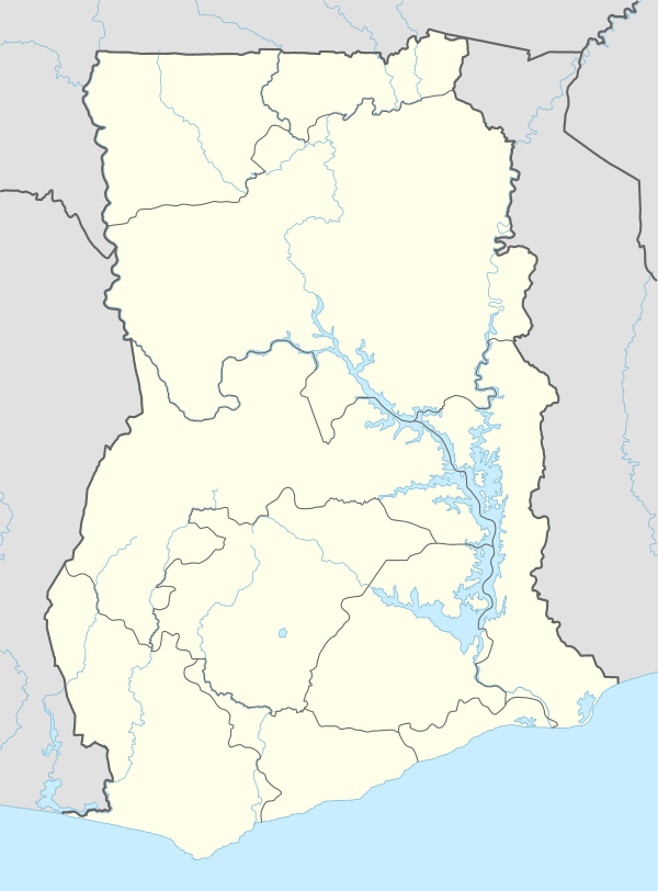 Tokor Location in Ghana | |
| Coordinates: GH 6°6′46″N 1°7′58″E / 6.11278°N 1.13278°ECoordinates: GH 6°6′46″N 1°7′58″E / 6.11278°N 1.13278°E | |
| Country |
|
| Region | Volta Region |
| District | Ketu Municipal District |
| Elevation | 64 m (210 ft) |
| Time zone | GMT |
| • Summer (DST) | GMT (UTC) |
Tokor is a village in the Ketu Municipal district, a district on the south-eastern corner of the Volta Region of Ghana, near the Ghana-Togo border.[1]
References
This article is issued from Wikipedia - version of the 2/9/2016. The text is available under the Creative Commons Attribution/Share Alike but additional terms may apply for the media files.