Tomasamil
| Tomasamil | |
|---|---|
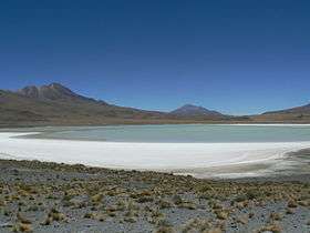 Laguna Hedionda with the mountains Cañapa (left) and Tomasamil (right). | |
| Highest point | |
| Elevation | 5,890 m (19,320 ft) [1] |
| Prominence | 1,590 m (5,220 ft) [2] |
| Listing | Ultra |
| Coordinates | 21°18′S 67°58′W / 21.300°S 67.967°WCoordinates: 21°18′S 67°58′W / 21.300°S 67.967°W |
| Geography | |
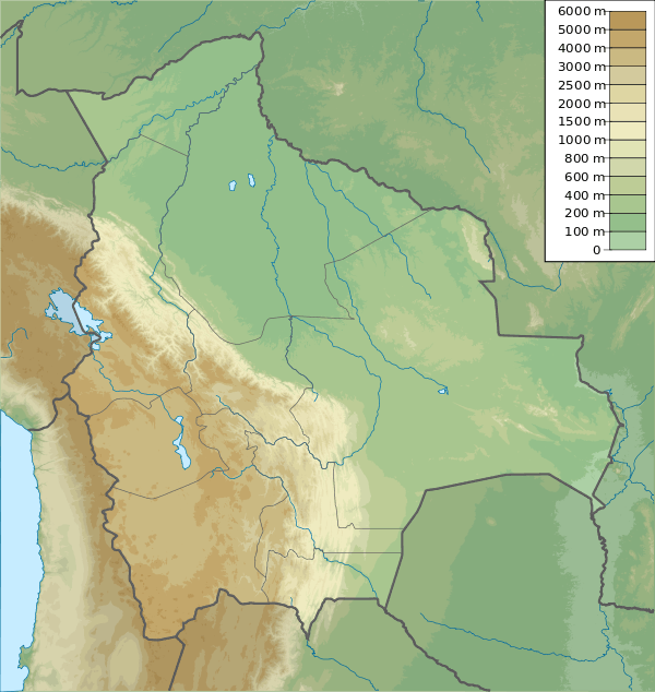 Tomasamil Bolivia | |
| Location | Potosi, Bolivia |
| Parent range | Cordillera Occidental |
Tomasamil is a mountain in Bolivia located east of Ollagüe volcano.
See also
References
- ↑ Topographic map Cerro Araral, Chile; Bolivia SF-19-7, Joint Operations Graphic 1:250,000, U.S. National Imagery and Mapping Agency
- ↑ "Bolivia Ultra-Prominences". Peaklist.org. Note: Prominence value from this source is based on an elevation of 5,830 m. Retrieved 2013-02-25.
External links
This article is issued from Wikipedia - version of the 7/15/2016. The text is available under the Creative Commons Attribution/Share Alike but additional terms may apply for the media files.