Toquepala Airport
| Toquepala Airport Campamento Airport | |||||||||||
|---|---|---|---|---|---|---|---|---|---|---|---|
| IATA: none – ICAO: SPTQ | |||||||||||
| Summary | |||||||||||
| Airport type | Public | ||||||||||
| Serves | Toquepala | ||||||||||
| Elevation AMSL | 8,536 ft / 2,602 m | ||||||||||
| Coordinates | 17°17′58″S 70°39′15″W / 17.29944°S 70.65417°WCoordinates: 17°17′58″S 70°39′15″W / 17.29944°S 70.65417°W | ||||||||||
| Map | |||||||||||
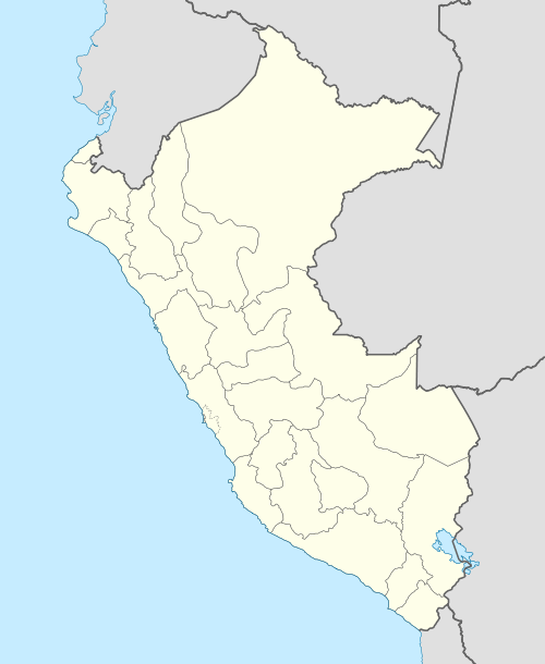 SPTQ Location of the airport in Peru | |||||||||||
| Runways | |||||||||||
| |||||||||||
Toquepala Airport (ICAO: SPTQ) is a high-elevation airport serving the mining village of Toquepala in the Tacna Region of Peru. The runway has high terrain in all quadrants.
See also
References
- ↑ Airport information for SPTQ at Great Circle Mapper.
- ↑ Google Maps - Toquepala
External links
This article is issued from Wikipedia - version of the 12/5/2016. The text is available under the Creative Commons Attribution/Share Alike but additional terms may apply for the media files.