Trois-Ponts
| Trois-Ponts | |
|---|---|
| Municipality | |
 | |
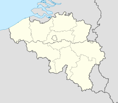 Trois-Ponts Location in Belgium | |
|
Location of Trois-Ponts in the province of Liège 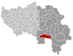 | |
| Coordinates: 50°22′N 05°52′E / 50.367°N 5.867°ECoordinates: 50°22′N 05°52′E / 50.367°N 5.867°E | |
| Country | Belgium |
| Community | French Community |
| Region | Wallonia |
| Province | Liège |
| Arrondissement | Verviers |
| Government | |
| • Mayor | Jean-Luc GABRIEL (Mr) |
| Area | |
| • Total | 68.90 km2 (26.60 sq mi) |
| Population (1 January 2016)[1] | |
| • Total | 2,502 |
| • Density | 36/km2 (94/sq mi) |
| Postal codes | 4980, 4983 |
| Area codes | 080 |
| Website | www.troisponts.be |
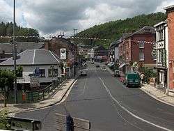
Trois-Ponts is a municipality of Belgium. It lies in the country's Walloon Region and Province of Liege. On January 1, 2006, Trois-Ponts had a total population of 2,445. The total area is 68.90 km² which gives a population density of 35 inhabitants per km². It is situated at the confluence of the rivers Amblève and Salm.
The municipality consists of the following sub-municipalities: Basse-Bodeux, Fosse, and Wanne.
A railway junction at Trois-Ponts connected the Vennbahn with the Liège-Troisvierges, Luxembourg line.
See also
References
- ↑ Population per municipality as of 1 January 2016 (XLS; 397 KB)
External links
-
 Media related to Trois-Ponts at Wikimedia Commons
 |
Stoumont | Stavelot | | |
| |
St. Vith | |||
| ||||
| | ||||
| Lierneux | Vielsalm (WLX) |
Municipalities of the Province of Liège | ||
|---|---|---|
| Huy | 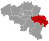 | |
| Liège | ||
| Verviers | ||
| Waremme | ||
This article is issued from Wikipedia - version of the 12/1/2016. The text is available under the Creative Commons Attribution/Share Alike but additional terms may apply for the media files.