Trompeteros Airport
| Trompeteros Airport | |||||||||||
|---|---|---|---|---|---|---|---|---|---|---|---|
| IATA: none – ICAO: SPDR | |||||||||||
| Summary | |||||||||||
| Airport type | Public | ||||||||||
| Serves | Trompeteros | ||||||||||
| Elevation AMSL | 418 ft / 127 m | ||||||||||
| Coordinates | 3°48′20″S 75°02′20″W / 3.80556°S 75.03889°WCoordinates: 3°48′20″S 75°02′20″W / 3.80556°S 75.03889°W | ||||||||||
| Map | |||||||||||
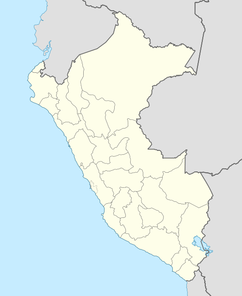 SPDR Location of the airport in Peru | |||||||||||
| Runways | |||||||||||
| |||||||||||
Trompeteros Airport (ICAO: SPDR) is an airport serving the town of Trompeteros in the Loreto Region of Peru.
The Corrientes/Trompeteros VOR-DME (Ident: TRO) is located on the field.[3]
See also
References
- ↑ Airport information for SPDR at Great Circle Mapper.
- ↑ Google Maps - Trompeteros
- ↑ TRO VOR
External links
This article is issued from Wikipedia - version of the 12/5/2016. The text is available under the Creative Commons Attribution/Share Alike but additional terms may apply for the media files.