Trujillo Airport
For the airport serving Trujillo, Peru, see Cap. FAP Carlos Martínez de Pinillos International Airport.
| Trujillo Airport Aeropuerto de Trujillo | |||||||||||
|---|---|---|---|---|---|---|---|---|---|---|---|
| IATA: TJI – ICAO: MHTJ | |||||||||||
| Summary | |||||||||||
| Airport type | Military/Public | ||||||||||
| Location | Trujillo, Honduras | ||||||||||
| Elevation AMSL | 1 m / 3 ft | ||||||||||
| Coordinates | 15°55′37″N 085°56′18″W / 15.92694°N 85.93833°WCoordinates: 15°55′37″N 085°56′18″W / 15.92694°N 85.93833°W | ||||||||||
| Map | |||||||||||
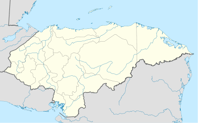 TJI Location in Honduras | |||||||||||
| Runways | |||||||||||
| |||||||||||
Trujillo Airport (Spanish: Aeropuerto de Trujillo) (IATA: TJI, ICAO: MHTJ) is an airport serving Trujillo,[1] a municipality in the Colón Department on the northern coast of Honduras.
Facilities
The airport resides at an elevation of 1 m (3 ft 3 in) above mean sea level. It has one runway designated 06/24 with an asphalt surface measuring 1,071 m × 29 m (3,514 ft × 95 ft).[1]
Airlines
Aviac: La Ceiba, Puerto Lempira
See also
 Aviation portal
- List of airports in Honduras
References
- 1 2 3 Airport information for MHTJ at World Aero Data. Data current as of October 2006.Source: DAFIF.
- ↑ Airport information for TJI at Great Circle Mapper. Source: DAFIF (effective October 2006).
- ↑ Google Maps - Trujillo
External links
This article is issued from Wikipedia - version of the 12/4/2016. The text is available under the Creative Commons Attribution/Share Alike but additional terms may apply for the media files.