Un, Surat
| Un Unn | |
|---|---|
| city | |
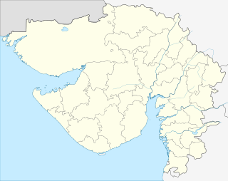 Un  Un Location in Gujarat, India | |
| Coordinates: 21°06′55″N 72°51′25″E / 21.115249°N 72.857037°ECoordinates: 21°06′55″N 72°51′25″E / 21.115249°N 72.857037°E | |
| Country |
|
| State | Gujarat |
| District | Surat |
| Talukas | Choryasi |
| Area | |
| • Total | 4 km2 (2 sq mi) |
| Elevation | 40 m (130 ft) |
| Population (2001) | |
| • Total | 28,761 |
| • Density | 7,200/km2 (19,000/sq mi) |
| Languages | |
| • Official | Gujarati, Hindi |
| Time zone | IST (UTC+5:30) |
| PIN | 394230 |
| Telephone code | 0261 |
| Vehicle registration | GJ5 |
| Website |
gujaratindia |
Unn is a Municipality city in Surat district in the Indian state of Gujarat. The city comes under Surat Metropolitan Region.
Geography
Unn is located at [1] an average elevation of 17 metres (131 feet).
Demographics
As of 2001 India census,[2] Unn had a population of 28,761. Males constitute 65% of the population and females 35%. Unn has an average literacy rate of 69%, higher than the national average of 59.5%: male literacy is 76%, and female literacy is 56%. In Unn, 14% of the population is under 6 years of age.
References
- ↑ Falling Rain Genomics, Inc - Un
- ↑ "Census of India 2001: Data from the 2001 Census, including cities, villages and towns (Provisional)". Census Commission of India. Archived from the original on 2004-06-16. Retrieved 2008-11-01.
See also
This article is issued from Wikipedia - version of the 10/2/2016. The text is available under the Creative Commons Attribution/Share Alike but additional terms may apply for the media files.