Upend
| Upend | |
 Upend |
|
| Population | 70 |
|---|---|
| OS grid reference | TL705575 |
| Shire county | Cambridgeshire |
| Region | East |
| Country | England |
| Sovereign state | United Kingdom |
| Post town | Newmarket |
| Postcode district | CB8 |
| EU Parliament | East of England |
| Website | http://www.kirtlingandupend.org/ |
|
|
Coordinates: 52°11′N 0°29′E / 52.19°N 0.49°E
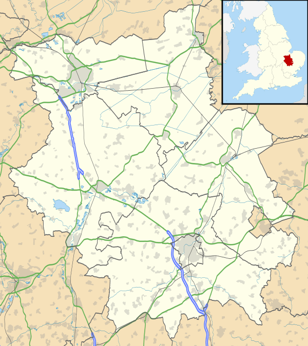
Upend is a hamlet in the east of Cambridgeshire. It is located 5 miles (8 km) south east of Newmarket and lies in the same parish as Kirtling. Until the 15th century Upend was called Upheme which is old English for ‘the up-dwelling’. Upend may once have been a separate village but it had been absorbed into Kirtling at some time before 1066.[1]
The population of Upend in 2013 was 70.[2] As the population at the 2011 census was less than 100 the population is included in the civil parish of Kirtling.
References
- ↑ A F Wareham and A P M Wright (editors) (2002). "'Kirtling', in A History of the County of Cambridge and the Isle of Ely: Volume 10, Cheveley, Flendish, Staine and Staploe Hundreds (North Eastern Cambridgeshire)". British History Online. Retrieved 2015-12-03.
- ↑ "East Cambridgeshire Local Plan:Kirtling & Upend" (PDF). Retrieved 2015-12-03.
External links
This article is issued from Wikipedia - version of the 7/25/2016. The text is available under the Creative Commons Attribution/Share Alike but additional terms may apply for the media files.