Uspallata Airport
| Uspallata Airport Aeropuerto de Uspallata | |||||||||||
|---|---|---|---|---|---|---|---|---|---|---|---|
| IATA: none – ICAO: SAMU | |||||||||||
| Summary | |||||||||||
| Airport type | Public | ||||||||||
| Serves | Uspallata | ||||||||||
| Location | Argentina | ||||||||||
| Elevation AMSL | 6,050 ft / 1,844 m | ||||||||||
| Coordinates | 32°32′20.2″S 069°20′45.9″W / 32.538944°S 69.346083°WCoordinates: 32°32′20.2″S 069°20′45.9″W / 32.538944°S 69.346083°W | ||||||||||
| Map | |||||||||||
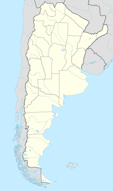 SAMU Location of Uspallata Airport in Argentina | |||||||||||
| Runways | |||||||||||
| |||||||||||
Uspallata Airport (Spanish: Aeropuerto de Uspallata, ICAO: SAMU) is a public use airport located 6 kilometres (4 mi) north of Uspallata, Mendoza, Argentina.
See also
References
- ↑ Airport record for Uspallata Airport at Landings.com. Retrieved 2 September 2013
- ↑ Google (2 September 2013). "location of Uspallata Airport" (Map). Google Maps. Google. Retrieved 2 September 2013.
External links
- Airport record for Uspallata Airport at Landings.com
This article is issued from Wikipedia - version of the 11/10/2016. The text is available under the Creative Commons Attribution/Share Alike but additional terms may apply for the media files.