Vågsvåg
| Vågsvåg | |
|---|---|
| Village | |
|
View of the Vågsberget handelsstad, along the shore in Vågsvåg | |
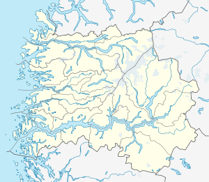 Vågsvåg  Vågsvåg Location in Sogn og Fjordane | |
| Coordinates: 61°56′16″N 05°02′55″E / 61.93778°N 5.04861°ECoordinates: 61°56′16″N 05°02′55″E / 61.93778°N 5.04861°E | |
| Country | Norway |
| Region | Western Norway |
| County | Sogn og Fjordane |
| District | Nordfjord |
| Municipality | Vågsøy Municipality |
| Area[1] | |
| • Total | 0.37 km2 (0.14 sq mi) |
| Elevation[2] | 6 m (20 ft) |
| Population (2012)[1] | |
| • Total | 207 |
| • Density | 559/km2 (1,450/sq mi) |
| Time zone | CET (UTC+01:00) |
| • Summer (DST) | CEST (UTC+02:00) |
| Post Code | 6700 Måløy |
.jpg)
Vågsvåg is a village in Vågsøy Municipality in Sogn og Fjordane county, Norway. It is located on the southern shore of the island of Vågsøy along the Vågsfjorden, a part of the main Nordfjorden. The village looks across the fjord towards the island of Husevågøy.[3]
Vågsvåg is located about 2.5 kilometres (1.6 mi) northwest of the village of Holvika, and about 6 kilometres (3.7 mi) west of the town of Måløy. The Hendanes Lighthouse lies about 3 kilometres (1.9 mi) north of Vågsvåg.
The 0.37-square-kilometre (91-acre) village has a population (2012) of 207, giving the village a population density of 559 inhabitants per square kilometre (1,450/sq mi).[1]
References
- 1 2 3 Statistisk sentralbyrå (1 January 2012). "Urban settlements. Population and area, by municipality.".
- ↑ "Vågsvåg" (in Norwegian). yr.no. Retrieved 2013-09-23.
- ↑ Store norske leksikon. "Vågsvåg" (in Norwegian). Retrieved 2013-09-23.
This article is issued from Wikipedia - version of the 8/1/2016. The text is available under the Creative Commons Attribution/Share Alike but additional terms may apply for the media files.