Vanala
| Vanala Vanala Vanala | |
|---|---|
| village | |
| Nickname(s): Vanala | |
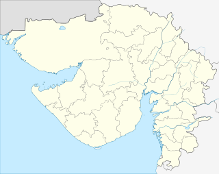 Vanala  Vanala Location in Gujarat, India | |
| Coordinates: 22°27′0″N 71°59′0″E / 22.45000°N 71.98333°ECoordinates: 22°27′0″N 71°59′0″E / 22.45000°N 71.98333°E | |
| Country |
|
| State | Gujarat |
| District | Surendranagar |
| Government | |
| • Body | Panchayat |
| Population | |
| • Total | 1,028[1] |
| • Rank | 1100 |
| Languages | |
| • Official | Gujarati, Hindi |
| Time zone | IST (UTC+5:30) |
| Telephone code | 02753 |
| Vehicle registration | GJ13 |
| Nearest city | Dhandhuka, Limbdi |
| Sex ratio | 52:48 ♂/♀ |
| Civic agency | Panchayat |
| Website |
gujaratindia |
| Princely state |
|---|
| Individual residencies |
| Agencies |
|
| Lists |
|
Vanala is a village and former Rajput princely state on Saurashtra peninsula in Gujarat state, western India.
History
The nearby archeological site of Rangpur, India dates back to the Harappan culture.
Vanala was a petty princely state in Jhalawar prant, comprising only Vana village, under a Jhala Rajput Chieftain.
It had a population of 311 in 1901, yielding a state revenue of 2300 Rupees (mostly from land; 1903-4) and paying 396 Rupees tribute to the British.
During the British Raj, the petty state was under the colonial Eastern Kathiawar Agency.
Village
Vanla lies in Chuda Taluka, Surendranagar district.[2]
It is a tiny village of population of around 1100. Majority of peoples are Jhala - Rajputs, other castes also reside there.
It has good road transport facilities from Limbdi (10 km) and Dhandhuka (21 km).
References
- ↑ Sub_Districts_Master
- ↑ "Vanala". www.onefivenine.com. http://www.onefivenine.com/. 2015-11-21. External link in
|publisher=(help)
External Links and Sources
History