Vilcha, Kharkiv Oblast
| Vilcha Вільча | |||
|---|---|---|---|
| Urban-type settlement | |||
| |||
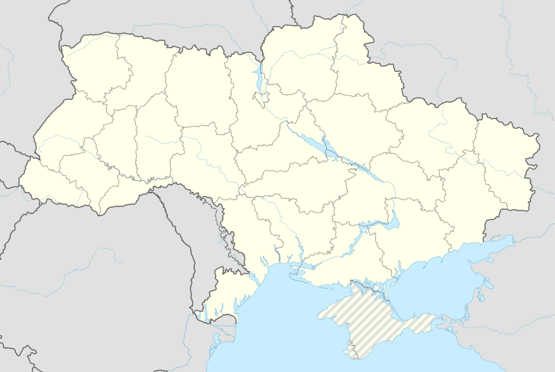 Vilcha Location of Vilcha in Ukraine | |||
| Coordinates: 50°14′41″N 36°56′29″E / 50.24472°N 36.94139°ECoordinates: 50°14′41″N 36°56′29″E / 50.24472°N 36.94139°E | |||
| Country |
| ||
| Oblast |
| ||
| Raion |
| ||
| Founded | 1993[1] | ||
| Government | |||
| • Mayor | Mykola Lirskyj | ||
| Area[1] | |||
| • Land | 3.68 km2 (1.42 sq mi) | ||
| Population (2001) | |||
| • Total | 1,658 | ||
| • Density | 451/km2 (1,170/sq mi) | ||
| Postal code | 62507[1] | ||
| Area code(s) | +380 5741 | ||


Vilcha (Ukrainian: Вільча, Russian: Вильча) is a Ukrainian town of the Vovchansk Raion, Kharkiv Oblast.[1] As of 2001, it had a population of 1,658.
History
The town, sometimes named New Vilcha, was founded in 1993,[1] when the 2,000 residents of the Old Vilcha (709 km far, in Kiev Oblast), located 45 km from the Chernobyl Nuclear Power Plant, moved here in the period 1993-1996. Immediately after the accident of 1986, the "Exclusion Zone" was recognized only in the area within a radius of 30 km from the nuclear plant.[2]
Geography
Located 6 km south of Vovchansk, and not too far from the borders with the Russian Oblast of Belgorod; Vilcha it is served by the provincial highway T2104, and by Harbuzivka railway station, on Belgorod-Kupiansk line.[3] The town is 20 km far from Bilyi Kolodiaz, 26 from Staryi Saltiv, 52 from Velykyi Burluk, 56 from Belgorod and 71 from Kharkiv.
See also
References
- 1 2 3 4 5 (Ukrainian) Vilcha on Verkhovna Rada website
- ↑ (Ukrainian) "The anniversary of the Chernobyl accident: "live" and "dead" villages of Vilcha"
- ↑ 168175776 Vilcha on OpenStreetMap
External links
![]() Media related to Vilcha at Wikimedia Commons
Media related to Vilcha at Wikimedia Commons