W.J.B. Greenwood Provincial Park
| W.J.B. Greenwood Provincial Park | |
| Protected Area | |
| Name origin: Named for Ben Greenwood, Ontario’s first chief of the Division of Parks, 1954 to 1960 | |
| Country | Canada |
|---|---|
| Province | Ontario |
| Region | Northeastern Ontario |
| District | Timiskaming |
| Municipality | Latchford |
| Elevation | 310 m (1,017 ft) |
| Coordinates | 47°18′29″N 79°48′47″W / 47.30806°N 79.81306°WCoordinates: 47°18′29″N 79°48′47″W / 47.30806°N 79.81306°W |
| Area | 465 ha (1,149 acres) |
| Biome | Great Lakes - St. Lawrence Forest / Boreal Forest transition zone |
| Founded | 1985 |
| Owner | Ontario Parks |
| Easiest access | Anima Nipissing Road from Ontario Highway 11 |
| IUCN category | II - National Park |
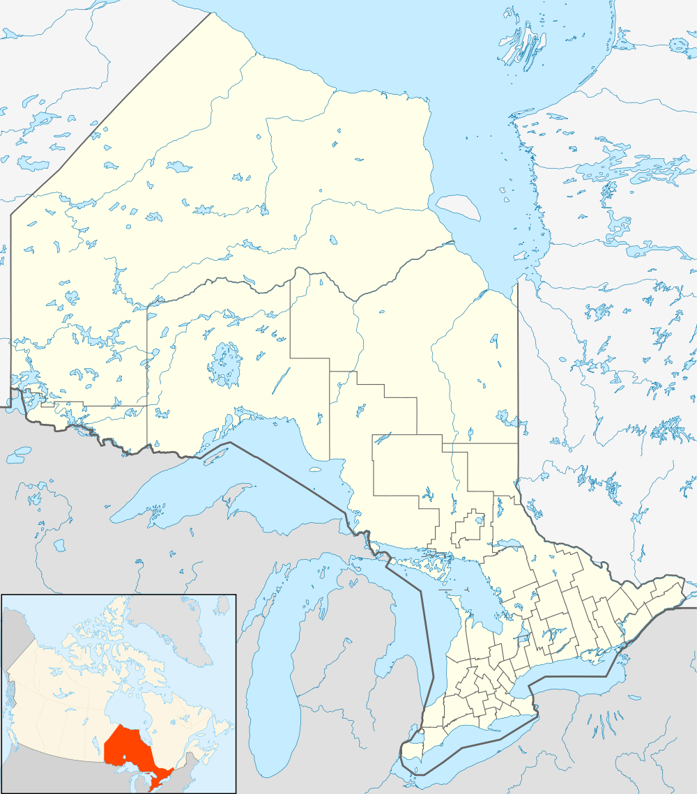 Location of W.J.B. Greenwood Provincial Park in Ontario | |
| Website: www | |
W.J.B. Greenwood Provincial Park is a non-operating recreational class park and protected area in the town of Latchford, Timiskaming District in Northeastern Ontario, Canada.[1] It is on the southern shores of Bay Lake on the Montreal River, part of the Saint Lawrence River drainage basin, and is in the Great Lakes - St. Lawrence Forest / Boreal Forest transition zone biome.[2] The park was established in 1985 and is named for Ben Greenwood, Ontario’s first chief of the Division of Parks, 1954 to 1960.[2]
References
- ↑ "W.J.B. Greenwood Provincial Park". Geographical Names Data Base. Natural Resources Canada. Retrieved 2011-09-09.
- 1 2 "W.J.B. Greenwood: Preliminary Management Statement" (PDF). Ontario Parks. 2008. ISBN 978-1-4249-6871-8. OCLC 456828999. Retrieved 2011-09-09.
External links
This article is issued from Wikipedia - version of the 11/20/2014. The text is available under the Creative Commons Attribution/Share Alike but additional terms may apply for the media files.