Wannukandi Airport
| Wannukandi Airport | |||||||||||
|---|---|---|---|---|---|---|---|---|---|---|---|
| IATA: NBL – ICAO: MPWN | |||||||||||
| Summary | |||||||||||
| Serves | Wannukandi | ||||||||||
| Elevation AMSL | 6 ft / 2 m | ||||||||||
| Coordinates | 9°16′25″N 78°08′20″W / 9.27361°N 78.13889°WCoordinates: 9°16′25″N 78°08′20″W / 9.27361°N 78.13889°W | ||||||||||
| Map | |||||||||||
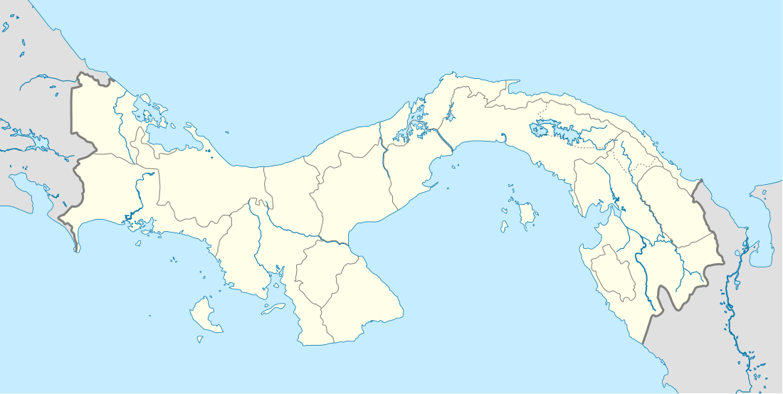 Wannukandi Location of the airport in Panama | |||||||||||
| Runways | |||||||||||
| |||||||||||
|
Source: Google Maps[1] | |||||||||||
Wannukandi Airport (IATA: NBL, ICAO: MPWN) is an airport serving Wannukandi, in Panama.
See also
 Aviation portal
References
- OurAirports - Panama
- FSXDB.com - Wannukandi
- Great Circle Mapper - Wannukandi
- Panoramio - Aerial view, Wannukandi
- Google Earth
This article is issued from Wikipedia - version of the 12/5/2016. The text is available under the Creative Commons Attribution/Share Alike but additional terms may apply for the media files.