Warburton Airport
| Warburton Airport | |||||||||||
|---|---|---|---|---|---|---|---|---|---|---|---|
| IATA: none – ICAO: YWBR | |||||||||||
| Summary | |||||||||||
| Operator | Warburton Community | ||||||||||
| Location | Warburton, Western Australia | ||||||||||
| Elevation AMSL | 1,510 ft / 460 m | ||||||||||
| Coordinates | 26°07′42″S 126°35′00″E / 26.12833°S 126.58333°ECoordinates: 26°07′42″S 126°35′00″E / 26.12833°S 126.58333°E | ||||||||||
| Map | |||||||||||
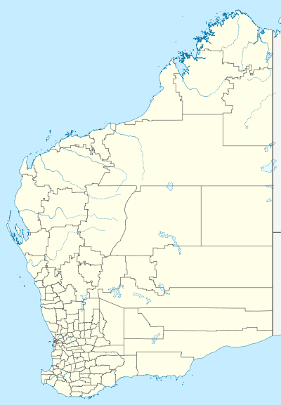 YWBR Location in Western Australia | |||||||||||
| Runways | |||||||||||
| |||||||||||
Warburton Airport (ICAO: YWBR) is a public-use international airport located in the remote town of Warburton, Western Australia.
See also
References
- ↑ YWBR – Warburton (PDF). AIP En Route Supplement from Airservices Australia, effective 10 November 2016, Aeronautical Chart
This article is issued from Wikipedia - version of the 12/4/2016. The text is available under the Creative Commons Attribution/Share Alike but additional terms may apply for the media files.