Williams Harbour Airport
| Williams Harbour Airport | |||||||||||
|---|---|---|---|---|---|---|---|---|---|---|---|
| Summary | |||||||||||
| Airport type | Public | ||||||||||
| Operator | Government of Newfoundland and Labrador | ||||||||||
| Location | Williams Harbour, Newfoundland and Labrador | ||||||||||
| Time zone | NST (UTC−03:30) | ||||||||||
| • Summer (DST) | NDT (UTC−02:30) | ||||||||||
| Elevation AMSL | 73 ft / 22 m | ||||||||||
| Coordinates | 52°34′03″N 055°47′06″W / 52.56750°N 55.78500°WCoordinates: 52°34′03″N 055°47′06″W / 52.56750°N 55.78500°W | ||||||||||
| Map | |||||||||||
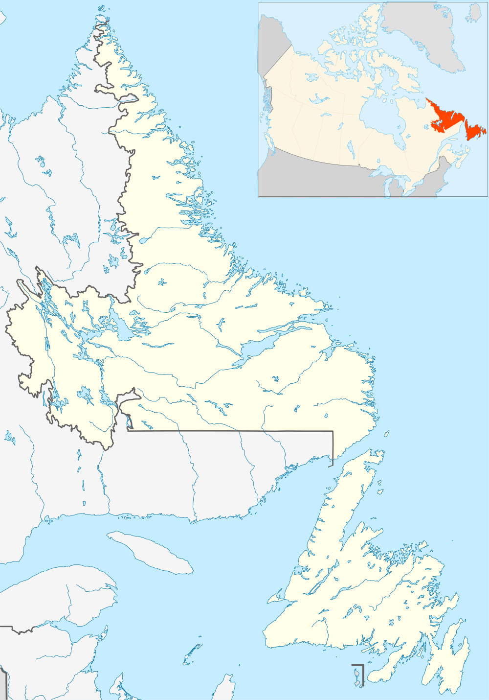 CCA6 Location in Newfoundland and Labrador | |||||||||||
| Runways | |||||||||||
| |||||||||||
|
Source: Canada Flight Supplement[1] | |||||||||||
Williams Harbour Airport (IATA: YWM, TC LID: CCA6) is located adjacent to Williams Harbour, Newfoundland and Labrador, Canada.
Airlines and destinations
| Airlines | Destinations |
|---|---|
| Air Labrador | Black Tickle, Cartwright, Charlottetown (NL), Fox Harbour, Goose Bay, Mary's Harbour, Port Hope Simpson, St. Anthony |
References
- ↑ Canada Flight Supplement. Effective 0901Z 15 September 2016 to 0901Z 10 November 2016
External links
| By name | |
|---|---|
| By location indicator | |
| By province/territory | |
| By region | |
| National Airports System | |
| Related | |
| |
This article is issued from Wikipedia - version of the 12/4/2016. The text is available under the Creative Commons Attribution/Share Alike but additional terms may apply for the media files.