Woodend, Northamptonshire
| Woodend | |
 Woodend |
|
| Population | 322 (2011 census) |
|---|---|
| OS grid reference | SP615491 |
| – London | 69 miles (111 km) |
| Civil parish | Woodend |
| District | South Northamptonshire |
| Shire county | Northamptonshire |
| Region | East Midlands |
| Country | England |
| Sovereign state | United Kingdom |
| Post town | TOWCESTER |
| Postcode district | NN12 |
| Police | Northamptonshire |
| Fire | Northamptonshire |
| Ambulance | East Midlands |
| EU Parliament | East Midlands |
|
|
Coordinates: 52°08′12″N 1°06′06″W / 52.1368°N 1.1017°W
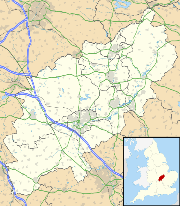
Woodend is a small village in the district of South Northamptonshire in the English county of Northamptonshire.
It is 6 miles (9.7 km) west of the town of Towcester[1] and was a hamlet in the parish of Blakesley until 1866, when it became a parish in its own right. After World War I it was designated a "thankful village", all of the soldiers it sent to war having returned safely. The population of the village at the 2011 Census was 322.[2]
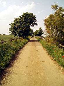
Lane from Green's Park
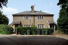
Woodend Cottages
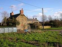
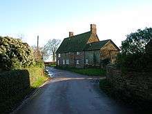
Houses at Green's Park
Heading out of the Village towards Blakesley
There is a Barrow about 250 yards east of Green's Park Farm.[3]
References
- ↑ http://www.visionofbritain.org.uk/place/8355
- ↑ "Civil Parish population 2011". Neighbourhood Statistics. Office for National Statistics. Retrieved 12 July 2016.
- ↑ Pevsner, Nikolaus; Cherry, Bridget (revision) (1961). The Buildings of England – Northamptonshire. London and New Haven: Yale University Press. pp. 106–7. ISBN 978-0-300-09632-3.
External links
![]() Media related to Woodend, Northamptonshire at Wikimedia Commons
Media related to Woodend, Northamptonshire at Wikimedia Commons
This article is issued from Wikipedia - version of the 7/12/2016. The text is available under the Creative Commons Attribution/Share Alike but additional terms may apply for the media files.