Ximeng Va Autonomous County
| Ximeng County | |
|---|---|
| Autonomous county | |
| Chinese transcription(s) | |
| • Characters | 西盟佤族自治县 |
| • Pinyin | Xīméng wǎzú Zìzhìxiàn |
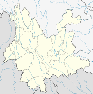
.png) Location of Ximeng County (pink) and Pu'er Prefecture (yellow) within Yunnan province of China | |
 Ximeng County Location within Yunnan, China | |
| Coordinates: 22°45′N 99°29′E / 22.750°N 99.483°E | |
| Country | China |
| Province | Yunnan |
| Prefecture | Pu'er |
| GB/T 2260 CODE[1] | 530829 |
| Area | |
| • Total | 1,391 km2 (537 sq mi) |
| Elevation | 1,214 m (3,983 ft) |
| Population | |
| • Total | 81,596 |
| • Density | 59/km2 (150/sq mi) |
| Time zone | China Standard Time (UTC+8) |
| Postal code | 665700[2] |
| Area code(s) | 0879[2] |
| Website | https://web.archive.org/web/20080918094248/http://www.ximeng.gov.cn/ |
|
1Yunnan Statistics Bureau 2Puer Gov. 3Yunnan Portal | |
Ximeng Va Autonomous County (西盟佤族自治县; pinyin: Xīméng wǎzú Zìzhìxiàn) is an autonomous county under the jurisdiction of Pu'er Prefecture, Yunnan Province, China. Wa/Va people is the main inhabitants here. Wa language is common here.
References
- ↑ "Archived copy". Archived from the original on February 21, 2009. Retrieved January 29, 2009.
- 1 2 Area Code and Postal Code in Yunnan Province
External links
Coordinates: 22°45′00″N 99°29′00″E / 22.75°N 99.4833°E
This article is issued from Wikipedia - version of the 9/11/2016. The text is available under the Creative Commons Attribution/Share Alike but additional terms may apply for the media files.