Yerpedu
| Yerpedu ఏర్పేడు | |
|---|---|
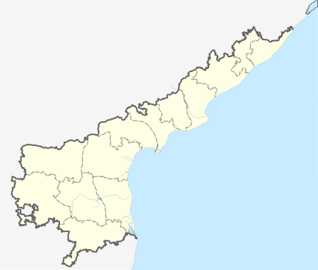 Yerpedu 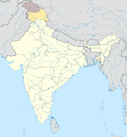 Yerpedu Location in Andhra Pradesh, India | |
| Coordinates: 13°41′00″N 79°36′00″E / 13.6833°N 79.6°ECoordinates: 13°41′00″N 79°36′00″E / 13.6833°N 79.6°E | |
| Country | India |
| State | Andhra Pradesh |
| District | Chittoor |
| Mandal | Yerpedu |
| Languages | |
| • Official | Telugu |
| Time zone | IST (UTC+5:30) |
| Vehicle registration | AP |
Yerpedu or Erpedu is a village in Chittoor district of the Indian state of Andhra Pradesh. It is the mandal headquarters of Yerpedu mandal. papulation. (2011) - Total 58,403 - males. 28,131 - females 28,272
- literacy. (2011) - Total 62.97% - males 74.67% - females 51.17% pin code. 517619
Geography
Yerpedu is located at 13°41′00″N 79°36′00″E / 13.6833°N 79.6°E. It has an average elevation of 89 meters (295 feet). It is a part of Tirupati and is located near Sri Kalahasti.
References
- ↑ http://censusindia.gov.in/PopulationFinder/Sub_Districts_Master.aspx?state_code=28&district_code=23
- ↑ "Chittoor District Mandals" (PDF). Census of India. pp. 453, 510. Retrieved 19 June 2015.
This article is issued from Wikipedia - version of the 10/19/2016. The text is available under the Creative Commons Attribution/Share Alike but additional terms may apply for the media files.