Younghusband Ridge
| Younghusband Ridge | |
|---|---|
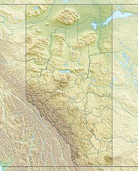 Younghusband Ridge Location in Alberta and British Columbia | |
| Highest point | |
| Elevation | 3,170 m (10,400 ft) [1] |
| Prominence | 130 m (430 ft) |
| Coordinates | 52°13′36″N 117°49′00″W / 52.22667°N 117.81667°WCoordinates: 52°13′36″N 117°49′00″W / 52.22667°N 117.81667°W |
| Geography | |
| Location |
Alberta British Columbia |
| Parent range | Park Ranges |
| Topo map | NTS 83C/04 |
| Climbing | |
| First ascent | 1927 by Alfred J. Ostheimer, guided by Hans Fuhrer |
Younghusband Ridge is located on the border of Alberta and British Columbia. It was named in 1927 by Alfred J. Ostheimer after Lt. Col. Sir Francis Edward Younghusband.[1][2]
See also
- List of peaks on the British Columbia-Alberta border
- Mountains of Alberta
- Mountains of British Columbia
References
This article is issued from Wikipedia - version of the 9/1/2010. The text is available under the Creative Commons Attribution/Share Alike but additional terms may apply for the media files.