Almo, Kentucky
| Almo, Kentucky | |
|---|---|
| Unincorporated community | |
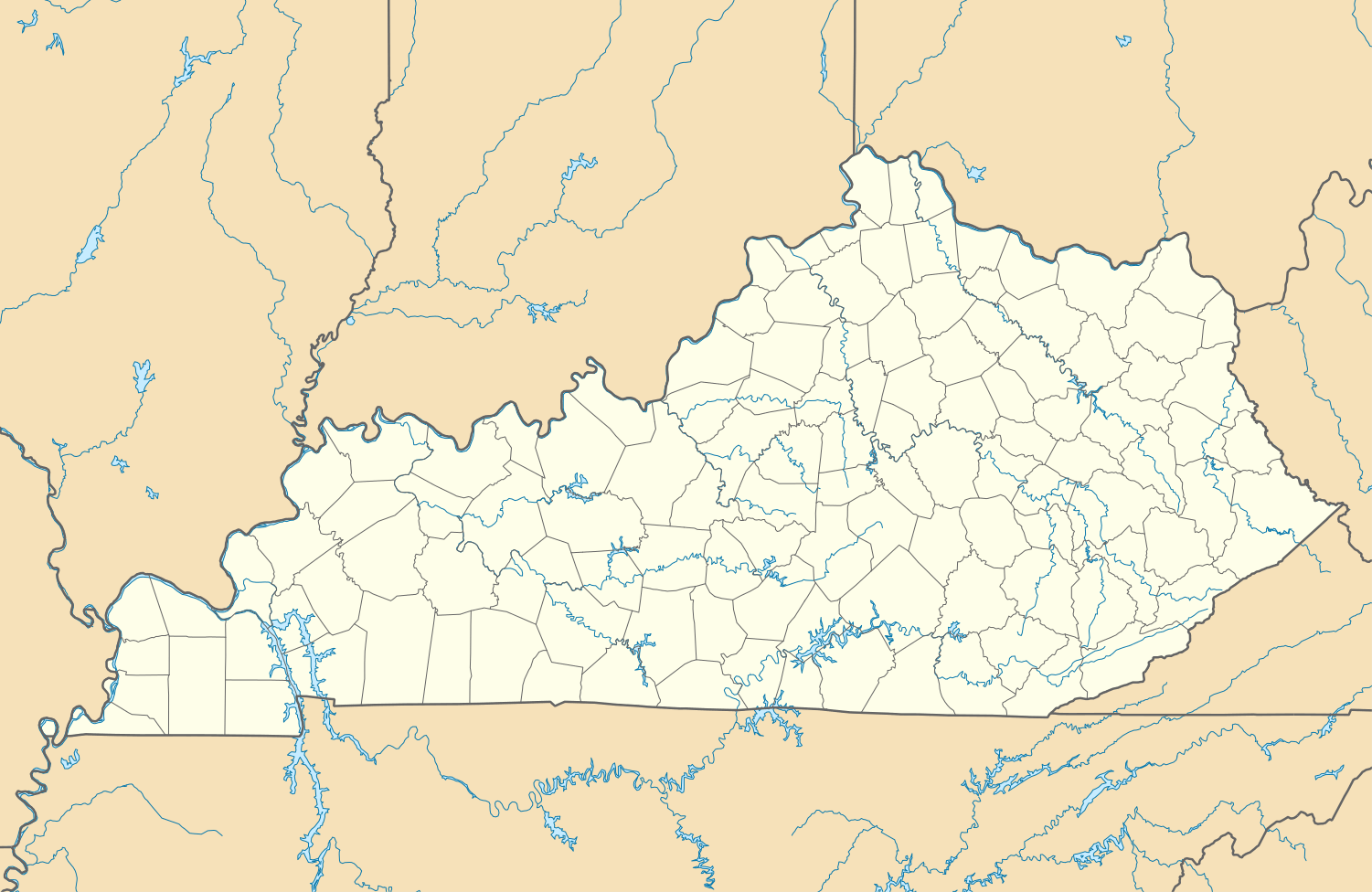 Almo  Almo Location within the state of Kentucky | |
| Coordinates: 36°41′41″N 88°16′42″W / 36.69472°N 88.27833°WCoordinates: 36°41′41″N 88°16′42″W / 36.69472°N 88.27833°W | |
| Country | United States |
| State | Kentucky |
| County | Calloway |
| Elevation | 430 ft (130 m) |
| Time zone | Central (CST) (UTC-6) |
| • Summer (DST) | CST (UTC-5) |
| ZIP codes | 42020 |
| Area code(s) | 270 & 364 |
| GNIS feature ID | 485892[1] |
Almo is an unincorporated community in Calloway County, Kentucky, United States.
References
Municipalities and communities of Calloway County, Kentucky, United States | ||
|---|---|---|
| Cities |  | |
| CDP | ||
| Unincorporated communities |
| |
This article is issued from Wikipedia - version of the 7/27/2016. The text is available under the Creative Commons Attribution/Share Alike but additional terms may apply for the media files.