Amarens
| Amarens | |
|---|---|
|
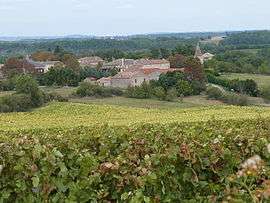
A general view of Amarens | |
 Amarens | |
|
Location within Occitanie region  Amarens | |
| Coordinates: 44°02′19″N 1°54′51″E / 44.0386°N 1.9142°ECoordinates: 44°02′19″N 1°54′51″E / 44.0386°N 1.9142°E | |
| Country | France |
| Region | Occitanie |
| Department | Tarn |
| Arrondissement | Albi |
| Canton | Cordes-sur-Ciel |
| Intercommunality | Vère Grésigne |
| Government | |
| • Mayor (2008–2014) | Patrick Montels |
| Area1 | 4.88 km2 (1.88 sq mi) |
| Population (2006)2 | 72 |
| • Density | 15/km2 (38/sq mi) |
| Time zone | CET (UTC+1) |
| • Summer (DST) | CEST (UTC+2) |
| INSEE/Postal code | 81009 / 81170 |
| Elevation |
175–292 m (574–958 ft) (avg. 265 m or 869 ft) |
|
1 French Land Register data, which excludes lakes, ponds, glaciers > 1 km² (0.386 sq mi or 247 acres) and river estuaries. 2 Population without double counting: residents of multiple communes (e.g., students and military personnel) only counted once. | |
Amarens is a commune of the Tarn department in southern France.
See also
References
| Wikimedia Commons has media related to Amarens. |
This article is issued from Wikipedia - version of the 2/12/2016. The text is available under the Creative Commons Attribution/Share Alike but additional terms may apply for the media files.