Amod, Gujarat
| Amod | |
|---|---|
| town | |
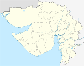 Amod  Amod Location in Gujarat, India | |
| Coordinates: 22°00′N 72°52′E / 22.00°N 72.87°ECoordinates: 22°00′N 72°52′E / 22.00°N 72.87°E | |
| Country |
|
| State | Gujarat |
| District | Bharuch |
| Languages | |
| • Official | Gujarati, Hindi |
| Time zone | IST (UTC+5:30) |
| Vehicle registration | GJ |
| Website |
gujaratindia |
Amod is a town and capital of a taluka in Bharuch district, Gujarat, India. It is situated about a mile south of the Dhadhar River, some 30 miles (48 km) south-west of Vadodara and 24 miles (38 km) north of Bharuch,[1] on the NH 228 road (the "Dandi heritage route") between Bharuch and Jambusar.
Amod was the seat of a Thakore Sahib, who owned about 21,200 acres (86 km2) of land at the start of the 20th century. The income of the estate was about ₨72,000, compared with the income of Amod municipality (established 1890) of ₨6,100.[1]
References
- 1 2 "Amod Town", Imperial Gazetteer of India, 5, Oxford: Clarendon, 1908, p. 306.
This article is issued from Wikipedia - version of the 10/3/2016. The text is available under the Creative Commons Attribution/Share Alike but additional terms may apply for the media files.