Ashcreek, Portland, Oregon
| Ashcreek | |
|---|---|
| Neighborhood | |
 Ashcreek | |
|
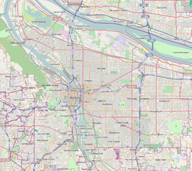
Coordinates: 45°27′22″N 122°44′14″W / 45.45609°N 122.73718°WCoordinates: 45°27′22″N 122°44′14″W / 45.45609°N 122.73718°W PDF map | |
| Country | United States |
| State | Oregon |
| City | Portland |
| Government | |
| • Association | Ashcreek Neighborhood Association |
| • Coalition | Southwest Neighborhoods, Inc. |
| Area | |
| • Total | 1.25 sq mi (3.23 km2) |
| Population (2000)[1] | |
| • Total | 4,740 |
| • Density | 3,800/sq mi (1,467/km2) |
| Housing[1] | |
| • No. of households | 1888 |
| • Occupancy rate | 97% occupied |
| • % households renting | 15% renting |
| • Avg. household size | 2.51 persons |
Ashcreek is a Southwest Portland, Oregon neighborhood. It borders Maplewood to the north, Multnomah and Crestwood to the east, Far Southwest to the south, and the Washington County communities of Garden Home-Whitford and Tigard to the west. Though like the city itself it lies mostly in Multnomah County, it extends a short distance into Washington County in several places on its western side.
The neighborhood includes Ash Creek Natural Area.
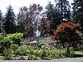
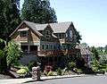
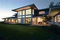
Images of the neighborhood
References
External links
- Guide to Ashcreek Neighborhood (PortlandNeighborhood.com)
This article is issued from Wikipedia - version of the 11/17/2014. The text is available under the Creative Commons Attribution/Share Alike but additional terms may apply for the media files.