Ashurst, Kent
| Ashurst | |
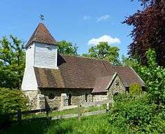 St Martin of Tours' Church |
|
 Ashurst |
|
| District | Tunbridge Wells |
|---|---|
| Shire county | Kent |
| Region | South East |
| Country | England |
| Sovereign state | United Kingdom |
| Post town | Tunbridge Wells |
| Postcode district | TN3 |
| Police | Kent |
| Fire | Kent |
| Ambulance | South East Coast |
| EU Parliament | South East England |
Coordinates: 51°07′46″N 0°10′11″E / 51.129370°N 0.169650°E
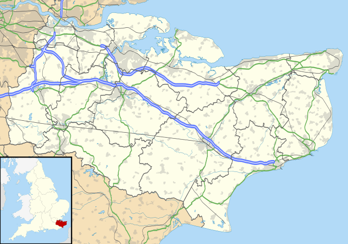
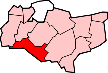
Ashurst is a village five miles (8 km) west of Tunbridge Wells in Kent, England, and is in the civil parish of Speldhurst. The 10th-century parish church is dedicated to St Martin of Tours[1] The parish is located on the border between Kent and East Sussex; the River Medway forms the border between the two counties. There were two watermills located here, both now closed, and there is a weir on the river.
Nearby settlements
 |
Blackham | Chiddingstone Hoath | Fordcombe | |
| Hammerwood | |
Langton Green | ||
| ||||
| | ||||
| Hartfield | Withyham | Groombridge |
In 1871 the area of the then parish (since joined to Speldhurst) was 871 acres (3.52 km2); its population 247 people.[2]
See also
- ↑ St Martins church
- ↑ Ashurst notes Archived September 10, 2007, at the Wayback Machine.
External links
![]() Media related to Ashurst, Kent at Wikimedia Commons
Media related to Ashurst, Kent at Wikimedia Commons
| |
Blackham | Chiddingstone Hoath | Fordcombe | |
| Hammerwood | |
Langton Green | ||
| ||||
| | ||||
| Hartfield | Withyham | Groombridge |
This article is issued from Wikipedia - version of the 11/17/2016. The text is available under the Creative Commons Attribution/Share Alike but additional terms may apply for the media files.