Asquith, Saskatchewan
| Town of Asquith | |
|---|---|
| Town | |
|
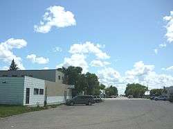
Asquith's Main Street | |
| Motto: Centre of the British Empire | |
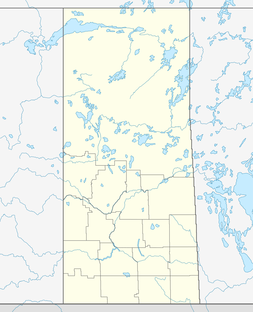  Location of Asquith in Saskatchewan | |
| Coordinates: 52°08′31″N 107°14′17″W / 52.142°N 107.238°W | |
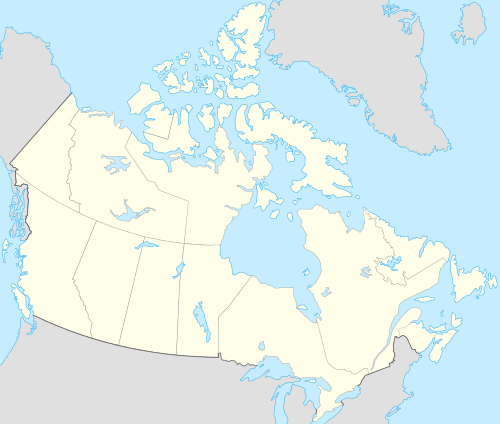
| Country | Canada |
| Province | Saskatchewan |
| Region | Saskatchewan |
| Census division | 12 |
| Rural Municipality | Vanscoy |
| Founded | 1903 |
| Incorporated (Village) | 1907 |
| Incorporated (Town) | 1908 |
| Government | |
| • Mayor | Gail Ernhart |
| • Town Manager | Holly Cross |
| • Governing body | Asquith Town Council |
| Area | |
| • Land | 1.23 km2 (0.47 sq mi) |
| Population (2011) | |
| • Total | 603 |
| • Density | 469.4/km2 (1,216/sq mi) |
| Time zone | CST |
| Postal code | S0K 0J0 |
| Area code(s) | 306 |
| Highways | Highway 14 |
| Website | http://townofasquith.com |
Asquith (2011 Population 603) is a town in south-central Saskatchewan, Canada, approximately 38 km (24 mi) west of Saskatoon. It became a village in December 1907.[1]
Demographics
| Canada census – Asquith, Saskatchewan community profile | |||
|---|---|---|---|
| 2011 | 2006 | 2001 | |
| Population: | 603 (4.7%% from 2006) | 576 (+0.3% from 2001) | 574 (+7.7% from 1996) |
| Land area: | 1.23 km2 (0.47 sq mi) | 1.23 km2 (0.47 sq mi) | 1.20 km2 (0.46 sq mi) |
| Population density: | 491.4/km2 (1,273/sq mi) | 469.4/km2 (1,216/sq mi) | 479.5/km2 (1,242/sq mi) |
| Median age: | 31.9 (M: 31.7, F: 33.1) | 31.9 (M: 31.7, F: 33.1) | |
| Total private dwellings: | 248 | 229 | 220 |
| Median household income: | $25,696 | $25,696 | |
| References: 2011[2] 2006[3] 2001[4] | |||
See also
References
- ↑ The Asquith Record. Asquith and District Historical Society. 1981. p. 3.
- ↑ "2011 Community Profiles". Canada 2011 Census. Statistics Canada. July 5, 2013. Retrieved 2012-02-11.
- ↑ "2006 Community Profiles". Canada 2006 Census. Statistics Canada. March 30, 2011. Retrieved 2009-02-24.
- ↑ "2001 Community Profiles". Canada 2001 Census. Statistics Canada. February 17, 2012. Retrieved 2011-06-01.
External links
 |
Arelee | | ||
| Kinley | |
Grandora | ||
| ||||
| | ||||
| Delisle |
Coordinates: 52°08′31″N 107°14′17″W / 52.142°N 107.238°W
This article is issued from Wikipedia - version of the 11/1/2016. The text is available under the Creative Commons Attribution/Share Alike but additional terms may apply for the media files.