Bernice, Manitoba
For other uses, see Bernice.
| Bernice | |
|---|---|
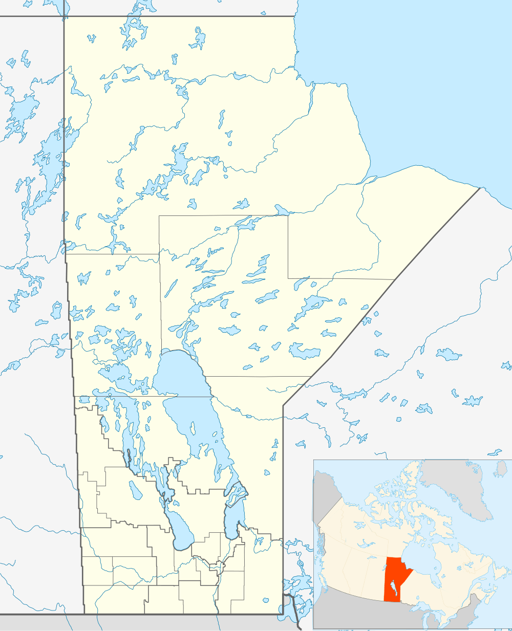 Bernice Location of Bernice in Manitoba | |
| Coordinates: 49°23′46″N 100°52′30″W / 49.39611°N 100.87500°WCoordinates: 49°23′46″N 100°52′30″W / 49.39611°N 100.87500°W | |
| Country |
|
| Province |
|
| Region | Westman Region |
| Census Division | No. 5 |
| Government | |
| • Governing Body | Rural Municipality of Albert Council |
| • MP | Larry Maguire |
| • MLA | Vacant |
| Time zone | CST (UTC−6) |
| • Summer (DST) | CDT (UTC−5) |
| Area code(s) | 204 |
| NTS Map | 062F07 |
| GNBC Code | GACGQ |
Bernice is a community in the Rural Municipality of Albert, Manitoba, Canada. The community is located on Highway 345 between the communities of Bede and Lauder, approximately 115 km south-west of Brandon, Manitoba only 24 km north-east of the Town of Melita. Very little remains of Bernice, only a historic school house; Bernice School District No. 547.
Infrastructure
Bernice is served by Manitoba Highway 345.
See also
References
External links
 |
Pipestone | Belleview | Grande Clairière | |
| Bede | |
Lauder | ||
| ||||
| | ||||
| Melita | Napinka | Medora |
This article is issued from Wikipedia - version of the 11/27/2016. The text is available under the Creative Commons Attribution/Share Alike but additional terms may apply for the media files.