Bever, Belgium
| Bever | |||
|---|---|---|---|
| Municipality | |||
%2C_Eisbroekbeek.jpg) | |||
| |||
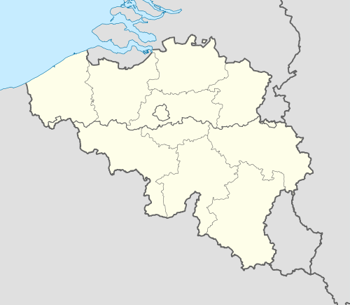 Bever Location in Belgium | |||
|
Location of Bever in Flemish Brabant 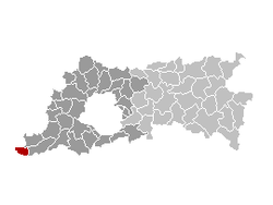 | |||
| Coordinates: 50°43′N 03°56′E / 50.717°N 3.933°ECoordinates: 50°43′N 03°56′E / 50.717°N 3.933°E | |||
| Country | Belgium | ||
| Community | Flemish Community | ||
| Region | Flemish Region | ||
| Province | Flemish Brabant | ||
| Arrondissement | Halle-Vilvoorde | ||
| Government | |||
| • Mayor | Luc Deneyer (CD&V) | ||
| • Governing party/ies | CD&V | ||
| Area | |||
| • Total | 19.78 km2 (7.64 sq mi) | ||
| Population (1 January 2016)[1] | |||
| • Total | 2,151 | ||
| • Density | 110/km2 (280/sq mi) | ||
| Postal codes | 1547 | ||
| Area codes | 054, 02 | ||
| Website | www.bever-bievene.be | ||

Bever (Dutch pronunciation: [ˈbeːvər], Biévène in French) is a municipality located in the Belgian province of Flemish Brabant. The municipality only comprises the town of Bever proper. It is located at 50°43′N 3°56′E / 50.717°N 3.933°E. On January 1, 2006, Bever had a total population of 2,023. The total area is 19.78 km² which gives a population density of 102 inhabitants per km². It is a Dutch-speaking village with language facilities for French-speakers.
References
- ↑ Population per municipality as of 1 January 2016 (XLS; 397 KB)
External links
-
 Media related to Bever, Belgium at Wikimedia Commons
 - Gazetteer Entry
 |
Geraardsbergen (VOV) | Galmaarden | | |
| Lessines (WHT) | |
Herne | ||
| ||||
| | ||||
| Silly (WHT) | Enghien (WHT) |
This article is issued from Wikipedia - version of the 12/1/2016. The text is available under the Creative Commons Attribution/Share Alike but additional terms may apply for the media files.