Brachiopod Mountain
| Brachiopod Mountain | |
|---|---|
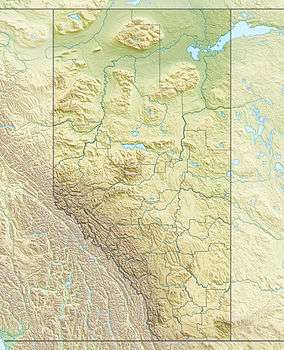 Brachiopod Mountain Location in Alberta | |
| Highest point | |
| Elevation | 2,667 m (8,750 ft) [1] |
| Prominence | 152 m (499 ft) |
| Coordinates | 51°28′54″N 116°02′06″W / 51.48167°N 116.03500°WCoordinates: 51°28′54″N 116°02′06″W / 51.48167°N 116.03500°W |
| Geography | |
| Location | Alberta, Canada |
| Parent range | Slate Range |
| Topo map | NTS 82N/08 |
| Climbing | |
| First ascent | 1911 J.F. Porter and party |
| Easiest route | Scrambling Routes west slopes |
Brachiopod Mountain was named by James F. Porter for the fossil brachiopods found in the Devonian limestone of the mountain. It is located in the Slate Range in Alberta.[1][2]
See also
References
- 1 2 "Brachiopod Mountain". PeakFinder.com.
- ↑ "Brachiopod Mountain". Bivouac.com.
This article is issued from Wikipedia - version of the 5/18/2013. The text is available under the Creative Commons Attribution/Share Alike but additional terms may apply for the media files.