Brugelette
| Brugelette | |||
|---|---|---|---|
| Municipality | |||
.JPG) | |||
| |||
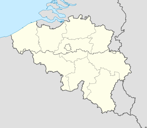 Brugelette Location in Belgium | |||
|
Location of Brugelette in Hainaut 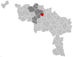 | |||
| Coordinates: 50°36′N 03°51′E / 50.600°N 3.850°ECoordinates: 50°36′N 03°51′E / 50.600°N 3.850°E | |||
| Country | Belgium | ||
| Community | French Community | ||
| Region | Wallonia | ||
| Province | Hainaut | ||
| Arrondissement | Ath | ||
| Government | |||
| • Mayor | André Desmarlières | ||
| • Governing party/ies | BR | ||
| Area | |||
| • Total | 28.40 km2 (10.97 sq mi) | ||
| Population (1 January 2016)[1] | |||
| • Total | 3,619 | ||
| • Density | 130/km2 (330/sq mi) | ||
| Postal codes | 7940-7943 | ||
| Area codes | 068 | ||
| Website | www.brugelette.be | ||

Brugelette is a Walloon municipality located in the Belgian province of Hainaut. On January 1, 2006, Brugelette had a total population of 3,284. The total area is 28.40 km² which gives a population density of 116 inhabitants per km².
The municipality consists of the following sub-municipalities: Brugelette proper, Cambron-Casteau, Attre, Mévergnies-lez-Lens, and Gages.
See also
- Attre Castle
- Pairi Daiza (zoo and botanical garden)
References
- ↑ Population per municipality as of 1 January 2016 (XLS; 397 KB)
External links
-
 Media related to Brugelette at Wikimedia Commons
 - Official web site (French)
 |
Ath | Silly | | |
| Chièvres | |
Lens | ||
| ||||
| | ||||
| Lens |
This article is issued from Wikipedia - version of the 12/1/2016. The text is available under the Creative Commons Attribution/Share Alike but additional terms may apply for the media files.