Burnwell, Alabama
| Burnwell, Alabama | |
|---|---|
| Unincorporated community | |
 Burnwell, Alabama  Burnwell, Alabama | |
| Coordinates: 33°42′28″N 87°05′15″W / 33.70778°N 87.08750°WCoordinates: 33°42′28″N 87°05′15″W / 33.70778°N 87.08750°W | |
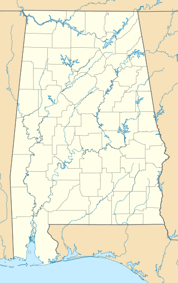
| Country | United States |
| State | Alabama |
| County | Walker |
| Elevation | 364 ft (111 m) |
| Time zone | Central (CST) (UTC-6) |
| • Summer (DST) | CDT (UTC-5) |
| ZIP code | 35038 |
| Area code(s) | 205 |
| GNIS feature ID | 115272[1] |
Burnwell is an unincorporated community in Walker County, Alabama, United States, located on the southern border of Dora. Burnwell had a post office from May 21, 1910, to December 30, 2010; it still has its own ZIP code, 35038.[2][3]
References
- ↑ "Burnwell". Geographic Names Information System. United States Geological Survey.
- ↑ United States Postal Service (2012). "USPS - Look Up a ZIP Code". Retrieved 2012-02-15.
- ↑ "Postmaster Finder - Post Offices by ZIP Code". United States Postal Service. Retrieved June 6, 2013.
Municipalities and communities of Walker County, Alabama, United States | ||
|---|---|---|
| Cities | 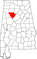 | |
| Towns | ||
| Unincorporated communities | ||
| Footnotes | ‡This populated place also has portions in an adjacent county or counties | |
This article is issued from Wikipedia - version of the 7/31/2016. The text is available under the Creative Commons Attribution/Share Alike but additional terms may apply for the media files.