Camembe Airport
| Camembe Airport | |||||||||||
|---|---|---|---|---|---|---|---|---|---|---|---|
| IATA: none – ICAO: FNCB | |||||||||||
| Summary | |||||||||||
| Airport type | Public | ||||||||||
| Serves | Camembe | ||||||||||
| Location | Angola | ||||||||||
| Elevation AMSL | 2,264 ft / 690 m | ||||||||||
| Coordinates | 8°07′05″S 14°30′00″E / 8.11806°S 14.50000°ECoordinates: 8°07′05″S 14°30′00″E / 8.11806°S 14.50000°E | ||||||||||
| Map | |||||||||||
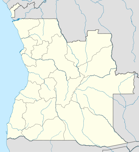 FNCB Location of Camembe Airport in Angola | |||||||||||
| Runways | |||||||||||
| |||||||||||
Camembe Airport (ICAO: FNCB) is a public use airport serving Camembe, Bengo Province, Angola.
See also
 Angola portal
 Aviation portal
- List of airports in Angola
- Transport in Angola
References
- ↑ "FNCB @ aerobaticsweb.org". Landings.com. Retrieved 2013-07-31.
- ↑ Google Maps - Camembe
- ↑ Airport information for FNCB at Great Circle Mapper.
External links
This article is issued from Wikipedia - version of the 6/22/2016. The text is available under the Creative Commons Attribution/Share Alike but additional terms may apply for the media files.