Carbondale, California
Coordinates: 38°24′32″N 121°00′25″W / 38.40889°N 121.00694°W
| Carbondale | |
|---|---|
| Former settlement | |
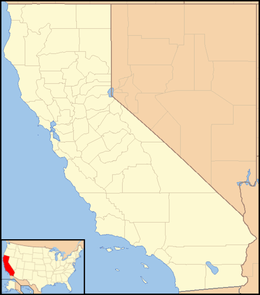 Carbondale  Carbondale Location in California | |
| Coordinates: 38°24′32″N 121°00′25″W / 38.40889°N 121.00694°W | |
| Country | United States |
| State | California |
| County | Amador County |
| Elevation[1] | 223 ft (68 m) |
Carbondale (formerly, Buckeye)[2] is a former settlement in Amador County, California. It was located 6 miles (10 km) northwest of Ione on the Southern Pacific Railroad,[2] at an elevation of 223 feet (68 m).
The place's early economy was related to coal mining and shipment.[2] A post office operated at Carbondale from 1922 to 1955.[2]
Nothing remains of Carbondale today.
References
External links
Municipalities and communities of Amador County, California, United States | ||
|---|---|---|
| Cities | 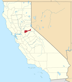 | |
| CDPs | ||
| Unincorporated communities | ||
| Ghost towns |
| |
| Footnotes | ‡This CDP also has portions in an adjacent county or counties | |
This article is issued from Wikipedia - version of the 7/18/2016. The text is available under the Creative Commons Attribution/Share Alike but additional terms may apply for the media files.