Chedgrave
| Chedgrave | |
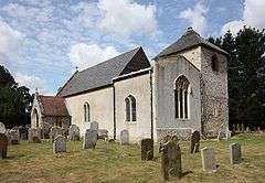 All Saints, Chedgrave |
|
 Chedgrave |
|
| Area | 3.52 km2 (1.36 sq mi) |
|---|---|
| Population | 1,051 (2011) |
| – density | 299/km2 (770/sq mi) |
| OS grid reference | TM364995 |
| Civil parish | Chedgrave |
| District | South Norfolk |
| Shire county | Norfolk |
| Region | East |
| Country | England |
| Sovereign state | United Kingdom |
| Post town | NORWICH |
| Postcode district | NR14 |
| Police | Norfolk |
| Fire | Norfolk |
| Ambulance | East of England |
| EU Parliament | East of England |
Coordinates: 52°32′30″N 1°29′12″E / 52.54167°N 1.48667°E
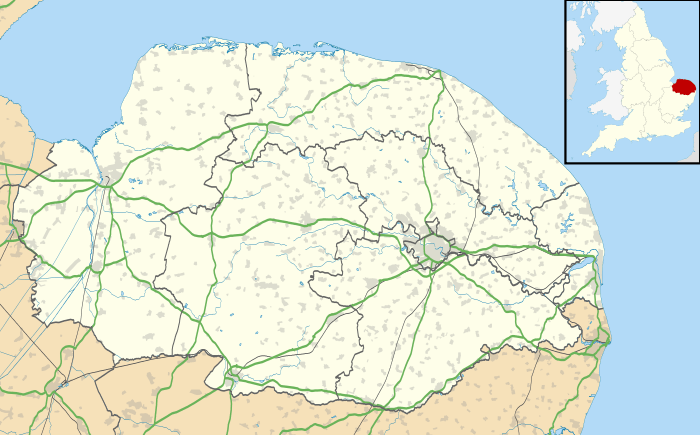
Chedgrave is a small village beside the River Chet, in Norfolk, England. It covers 3.52 square kilometres (1.36 sq mi) and had a population of 985 in 430 households at the 2001 census,[1] the population increasing to 1,051 at the 2011 Census.[2]
The Chet is known for its interesting wildlife.[3]
Governance
Chedgrave is part of the electoral ward called Chedgrave and Thurton. The population of this ward at the 2011 Census was 2,713.[4]
See also
- The geographic coordinates are from the Ordnance Survey.
References
- ↑ "Chedgrave parish information". 29 April 2009. Retrieved 20 June 2009.
- ↑ "Parish population 2011". Retrieved 6 September 2015.
- ↑ http://chedgrave.com
- ↑ "Chedgrave and Thurton Ward population 2011". Retrieved 6 September 2015.
![]() Media related to Chedgrave at Wikimedia Commons
Media related to Chedgrave at Wikimedia Commons
This article is issued from Wikipedia - version of the 8/1/2016. The text is available under the Creative Commons Attribution/Share Alike but additional terms may apply for the media files.