Morley, Norfolk
| Morley | |
 Morley |
|
| Area | 8.21 km2 (3.17 sq mi) |
|---|---|
| Population | 1,241 (2011)[1] |
| – density | 151/km2 (390/sq mi) |
| OS grid reference | TM075998 |
| Civil parish | Morley |
| District | South Norfolk |
| Shire county | Norfolk |
| Region | East |
| Country | England |
| Sovereign state | United Kingdom |
| Post town | WYMONDHAM |
| Postcode district | NR18 |
| Police | Norfolk |
| Fire | Norfolk |
| Ambulance | East of England |
| EU Parliament | East of England |
Coordinates: 52°33′25″N 1°03′36″E / 52.557°N 1.060°E
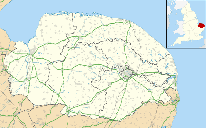
Morley is a civil parish in the English county of Norfolk. The name is first attested in 1086 as Morlea, which probably meant "open ground by a pasture/clearing", from Old English mōr "moor, clearing, pasture" + lẽah "open ground, clearing".[2] It covers an area of 8.21 km2 (3.17 sq mi) and had a population of 973 in 182 households at the 2001 census,[3] increasing to a population of 1.241 in 191 households at the 2011 census. For the purposes of local government, it falls within the district of South Norfolk.
See also
Notes
- ↑ "Civil Parish population 2011". Neighbourhood Statistics. Office for National Statistics. Retrieved 8 August 2016.
- ↑ Victor Watts (ed.), The Cambridge Dictionary of English Place-Names, Based on the Collections of the English Place-Name Society (Cambridge: Cambridge University Press, 2004), s.v. MORLEY ST BOTOLPH Norf.
- ↑ "Morley parish information". South Norfolk Council. 20 April 2009. Retrieved 20 June 2009.
External links
![]() Media related to Morley, Norfolk at Wikimedia Commons
Media related to Morley, Norfolk at Wikimedia Commons
This article is issued from Wikipedia - version of the 8/8/2016. The text is available under the Creative Commons Attribution/Share Alike but additional terms may apply for the media files.