Oupeye
| Oupeye | |
|---|---|
| Municipality | |
 | |
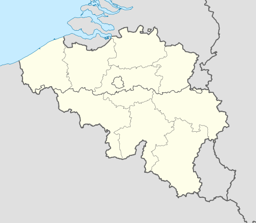 Oupeye Location in Belgium | |
|
Location of Oupeye in Liège province 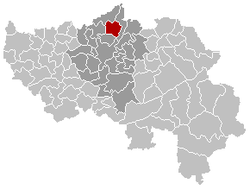 | |
| Coordinates: 50°42′N 05°39′E / 50.700°N 5.650°ECoordinates: 50°42′N 05°39′E / 50.700°N 5.650°E | |
| Country | Belgium |
| Community | French Community |
| Region | Wallonia |
| Province | Liège |
| Arrondissement | Liège |
| Government | |
| • Mayor | Mauro Lenzini (PS) |
| • Governing party/ies | PS, CDH |
| Area | |
| • Total | 36.11 km2 (13.94 sq mi) |
| Population (1 January 2016)[1] | |
| • Total | 24,772 |
| • Density | 690/km2 (1,800/sq mi) |
| Postal codes | 4680-4684 |
| Area codes | 04 |
| Website | www.oupeye.be |
Oupeye is a Walloon municipality of Belgium in Province of Liege. On January 1, 2006, Oupeye had a total population of 23,581. The total area is 36.11 km² which gives a population density of 653 inhabitants per km².
The municipality consists of the following sub-municipalities: Oupeye proper, Haccourt, Hermalle-sous-Argenteau (Hermal), Hermée, Heure-le-Romain (Romaans-Heur), Houtain-Saint-Siméon, and Vivegnis.
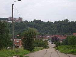
Chertal
Chertal is a narrow isthmus approximately 1.5 km southeast of Oupeye bounded by the Albert Canal and Meuse. Since 1963 the land has been the site of a steel factory founded by Espérance-Longdoz (as of 2010 part of ArcelorMittal Liege).
See also
References
- ↑ Population per municipality as of 1 January 2016 (XLS; 397 KB)
External links
-
 Media related to Oupeye at Wikimedia Commons
 |
Bassenge, Visé | | ||
| Juprelle | |
Visé | ||
| ||||
| | ||||
| Herstal, Liège |
Municipalities of the Province of Liège | ||
|---|---|---|
| Huy |  | |
| Liège | ||
| Verviers | ||
| Waremme | ||
This article is issued from Wikipedia - version of the 12/1/2016. The text is available under the Creative Commons Attribution/Share Alike but additional terms may apply for the media files.