Clark, Colorado
| Clark, Colorado | |
|---|---|
| Unincorporated community | |
|
The Clark Store in Clark. | |
 Clark, Colorado Location within the state of Colorado | |
| Coordinates: 40°42′26″N 106°55′08″W / 40.70722°N 106.91889°WCoordinates: 40°42′26″N 106°55′08″W / 40.70722°N 106.91889°W | |
| Country |
|
| State |
|
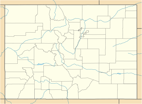
| County | Routt County |
| Elevation[1] | 7,260 ft (2,213 m) |
| Time zone | MST (UTC-7) |
| • Summer (DST) | MDT (UTC-6) |
| ZIP Code | 80428[2] |
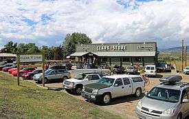
Clark is an unincorporated community and U.S. Post Office in Routt County, Colorado, United States. The Clark Post Office has the ZIP Code 80428.[2]
Geography
Clark is located at 40°42′26″N 106°55′08″W / 40.70722°N 106.91889°W (40.707255,-106.918752).
See also
References
- ↑ "US Board on Geographic Names". United States Geological Survey. 2007-10-25. Retrieved 2008-01-31.
- 1 2 "ZIP Code Lookup". United States Postal Service. December 15, 2006. Archived from the original (JavaScript/HTML) on September 3, 2007. Retrieved December 15, 2006.
External links
| Wikimedia Commons has media related to Clark, Colorado. |
Municipalities and communities of Routt County, Colorado, United States | ||
|---|---|---|
| City |  | |
| Towns | ||
| CDP | ||
| Unincorporated communities | ||
| Ghost towns | ||
This article is issued from Wikipedia - version of the 11/25/2016. The text is available under the Creative Commons Attribution/Share Alike but additional terms may apply for the media files.