Conceição do Tocantins
| Conceição do Tocantins | |
|---|---|
| Municipality | |
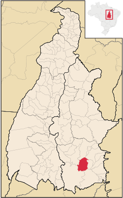 Location in Tocantins state | |
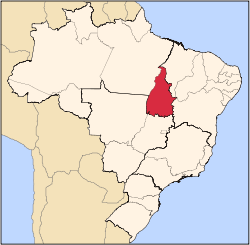
 Conceição do Tocantins Location in Brazil | |
| Coordinates: 12°13′08″S 47°17′52″W / 12.21889°S 47.29778°WCoordinates: 12°13′08″S 47°17′52″W / 12.21889°S 47.29778°W | |
| Country |
|
| Region | North Region |
| State | Tocantins |
| Area | |
| • Total | 2,501 km2 (966 sq mi) |
| Population (2005) | |
| • Total | 4,544 |
| • Density | 1.8/km2 (4.7/sq mi) |
| Time zone | BRT (UTC-3) |
Conceição do Tocantins is a municipality located in the Brazilian state of Tocantins. Its population was 4,544 (2005) and its area is 2,501 km².[1]
References
- ↑ IBGE - "Archived copy". Archived from the original on 2008-06-11. Retrieved 2008-06-11.
This article is issued from Wikipedia - version of the 11/29/2016. The text is available under the Creative Commons Attribution/Share Alike but additional terms may apply for the media files.