Edayanchavadi
| Edayanchavadi இடையன்சாவடி | |
|---|---|
| Neighbourhood | |
 Edayanchavadi 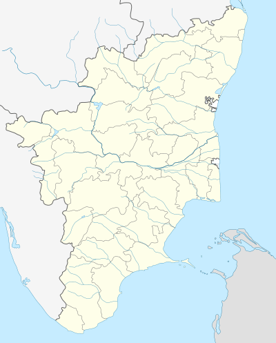 Edayanchavadi  Edayanchavadi | |
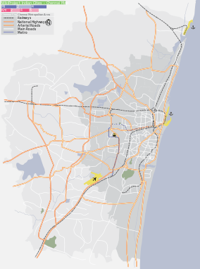
| Coordinates: IN 13°11′49″N 80°16′40″E / 13.196914°N 80.277865°ECoordinates: IN 13°11′49″N 80°16′40″E / 13.196914°N 80.277865°E | |
| Country |
|
| State |
|
| District | Thiruvallur |
| Metro | Chennai |
| Elevation | 3 m (10 ft) |
| Languages | |
| • Official | Tamil |
| Time zone | IST (UTC+5:30) |
| PIN | 600103 |
| Telephone code | 044 |
| Vehicle registration | TN-20-xxxx & TN-18-xxxx(new) |
| Planning agency | CMDA |
| City | Chennai |
| Lok Sabha constituency | North Chennai |
| Vidhan Sabha constituency | Thiruvottriyur |
Edayanchavadi (Tamil: இடையன்சாவடி), is a developing residential area in North Chennai, a metropolitan city in Tamil Nadu, India
Surroundings
 |
Vichoor | Napalayam | Ennore | |
| Kadapakkam | |
Kathivakkam | ||
| ||||
| | ||||
| Kosappur | Andarkuppam | Sadayankuppam, Tiruvottiyur |
External links
| State symbols |
|
|---|---|
| Governance |
|
| Topics | |
| Districts |
|
| Major cities | |
| District Headquarters |  | |
|---|---|---|
| Country | ||
| State | ||
| Region | ||
| Revenue Divisions |
| |
| Taluks |
| |
| Revenue blocks | ||
| Municipal Corporation |
| |
| Municipalities | ||
| Town Panchayats | ||
| History | ||
| Places of interest |
| |
| Universities | ||
This article is issued from Wikipedia - version of the 8/7/2016. The text is available under the Creative Commons Attribution/Share Alike but additional terms may apply for the media files.