Peravallur
| Peravallur பெரவள்ளூர் | |
|---|---|
| Neighbourhood | |
 Peravallur 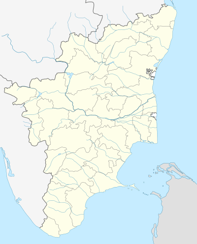 Peravallur  Peravallur | |
| Coordinates: IN 13°06′58″N 80°13′54″E / 13.116011°N 80.231603°ECoordinates: IN 13°06′58″N 80°13′54″E / 13.116011°N 80.231603°E | |
| Country |
|
| State |
|
| District | Chennai |
| Metro | Chennai |
| Elevation | 5 m (16 ft) |
| Languages | |
| • Official | Tamil |
| Time zone | IST (UTC+5:30) |
| PIN | 600082 |
| Telephone code | 044 |
| Planning agency | CMDA |
| City | Chennai |
| Lok Sabha constituency | North Chennai |
| Vidhan Sabha constituency | Kolathur |
| Civic agency | Chennai Corporation |
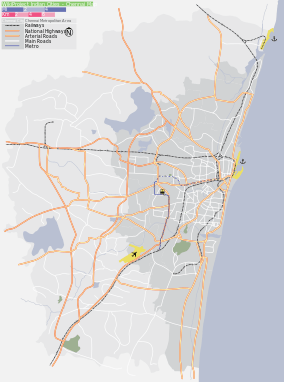
Peravallur (Tamil: பெரவள்ளூர்), is a developed residential area in Central Chennai, a metropolitan city in Tamil Nadu, India
Location
Peravallur is located near Kolathur and Perambur
Surroundings
 |
Kolathur | TVK Nagar | Perambur | |
| Periyar Nagar | |
Perambur | ||
| ||||
| | ||||
| Jawahar Nagar | Perambur | Perambur |
| State symbols |
|
|---|---|
| Governance |
|
| Topics | |
| Districts |
|
| Major cities | |
| City |  | |
|---|---|---|
| State | ||
| Region | ||
| Taluks | ||
This article is issued from Wikipedia - version of the 8/7/2016. The text is available under the Creative Commons Attribution/Share Alike but additional terms may apply for the media files.