Enid, Arizona
| Enid, Arizona | |
|---|---|
| Populated place | |
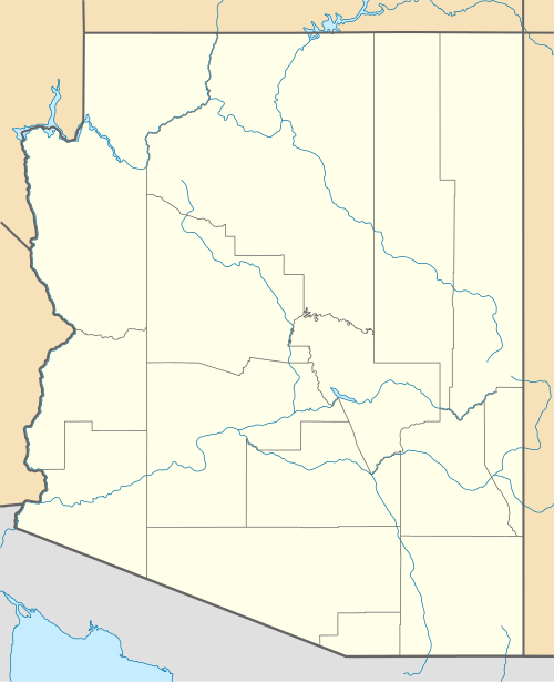 Enid  Enid Location within the state of Arizona | |
| Coordinates: 33°04′21″N 112°12′07″W / 33.07250°N 112.20194°WCoordinates: 33°04′21″N 112°12′07″W / 33.07250°N 112.20194°W | |
| Country | United States |
| State | Arizona |
| County |
Pinal Maricopa |
| Elevation[1] | 1,293 ft (394 m) |
| Time zone | Mountain (MST) (UTC-7) |
| • Summer (DST) | MST (UTC-7) |
| Area code(s) | 520 |
| FIPS code | 04-22850 |
| GNIS feature ID | 24408 |
Enid is a populated place situated primarily in Pinal County, Arizona, with portions in Maricopa County.[2] It has an estimated elevation of 1,293 feet (394 m) above sea level.[1]
References
- 1 2 "Feature Detail Report for: Enid". Geographic Names Information System. United States Geological Survey.
- ↑ "Enid (in Pinal County, AZ) Populated Place Profile". AZ Hometown Locator. Retrieved November 16, 2016.
Municipalities and communities of Pinal County, Arizona, United States | ||
|---|---|---|
| Cities | 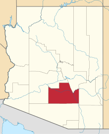 | |
| Towns | ||
| CDPs |
| |
| Unincorporated communities | ||
| Indian reservations | ||
| Ghost towns | ||
| Footnotes | ‡This populated place also has portions in an adjacent county or counties | |
This article is issued from Wikipedia - version of the 11/18/2016. The text is available under the Creative Commons Attribution/Share Alike but additional terms may apply for the media files.