Foxhow, Victoria
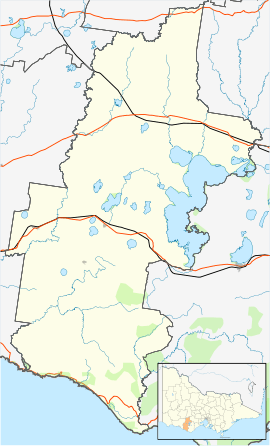
Foxhow is a locality in Victoria, Australia, located 200 km south-west of Melbourne in an agricultural area at the northern end of Lake Corangamite.
Foxhow Post Office opened around 1902 and closed in 1959 although an earlier office had a brief existence around 1870.[1]
References
|
|---|
|
- Ayrford
- Berrybank
- Bookaar
- Boorcan
- Bostocks Creek
- Bradvale
- Brucknell
- Bullaharre
- Camperdown
- Carlisle River
- Carpendeit
- Chocolyn
- Cobden
- Cobrico
- Cooriemungle
- Cowleys Creek
- Cressy
- Cundare North
- Curdies River
- Curdievale
- Darlington
- Derrinallum
- Dixie
- Duverney
- Ecklin South
- Elingamite
- Elingamite North
- Foxhow
- Garvoc
- Gellibrand Lower
- Glenfyne
- Glenormiston North
- Glenormiston South
- Gnotuk
- Heytesbury Lower
- Jancourt
- Jancourt East
- Kariah
- Kennedys Creek
- Koallah
- Kolora
- Larralea
- Leslie Manor
- Lismore
- Mingay
- Mount Bute
- Naroghid
- Newfield
- Nirranda East
- Noorat
- Noorat East
- Paaratte
- Peterborough
- Pirron Yallock
- Pittong
- Pomborneit
- Pomborneit East
- Pomborneit North
- Port Campbell
- Princetown
- Scotts Creek
- Simpson
- Skibo
- Skipton
- Stonyford
- Tandarook
- Taroon
- Terang
- Tesbury
- Timboon
- Timboon West
- Vite Vite
- Vite Vite North
- Waarre
- Weerite
- Werneth
|