Frei Paulo
| Frei Paulo Município de Frei Paulo | |||
|---|---|---|---|
| Municipality | |||
|
Igreja Matriz de Frei Paulo, Praça São Paulo, Frei Paulo | |||
| |||
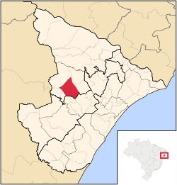 Location of Frei Paulo in Sergipe | |||
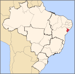
 Frei Paulo Location of Frei Paulo in Brazil | |||
| Coordinates: 10°32′56″S 37°32′02″W / 10.54889°S 37.53389°WCoordinates: 10°32′56″S 37°32′02″W / 10.54889°S 37.53389°W | |||
| Country |
| ||
| Region | Northeast | ||
| State |
| ||
| Founded | October 23, 1890 | ||
| Government | |||
| • Mayor | José Arinaldo de Oliveira Filho | ||
| Area | |||
| • Total | 400.4 km2 (154.6 sq mi) | ||
| Elevation | 272 m (892 ft) | ||
| Population (2016) | |||
| • Total | 15,200 | ||
| • Density | 38/km2 (98/sq mi) | ||
| Demonym(s) | Frei-paulense | ||
| Time zone | BRT (UTC-3) | ||
| Website |
freipaulo | ||


Frei Paulo is a municipality located in the Brazilian state of Sergipe. Its population was 15,200 (2016). Frei Paulo covers 400.4 km2 (154.6 sq mi), and has a population density of 38 inhabitants per square kilometer.[1]
References
- ↑ "Frei Paulo" (in Portuguese). Brasília, Brazil: Instituto Brasileiro de Geografia e Estatística. 2016. Retrieved 2016-11-05.
Capital: Aracaju | |||||||||||||||||||||||||||
| Agreste Sergipano |
|  | |||||||||||||||||||||||||
| Leste Sergipano |
| ||||||||||||||||||||||||||
| Sertao Sergipano |
| ||||||||||||||||||||||||||
This article is issued from Wikipedia - version of the 11/5/2016. The text is available under the Creative Commons Attribution/Share Alike but additional terms may apply for the media files.