Gongogi
| Gongogi Município de Gongogi | |
|---|---|
| Municipality | |
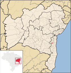 Location of Gongogi in Bahia | |
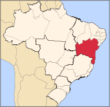
 Gongogi Location of Gongogi in Brazil | |
| Coordinates: 14°19′19″S 39°27′54″W / 14.32194°S 39.46500°WCoordinates: 14°19′19″S 39°27′54″W / 14.32194°S 39.46500°W | |
| Country |
|
| Region | Northeast |
| State |
|
| Founded | April 12, 1962 |
| Government | |
| • Mayor | Altamirando de Jesus Santos (PDT, 2013–2016) |
| Area | |
| • Total | 195.39 km2 (75.44 sq mi) |
| Elevation | 115 m (377 ft) |
| Population (2014) | |
| • Total | 8,082 |
| • Density | 41/km2 (110/sq mi) |
| Demonym(s) | Gongojiense |
| Time zone | BRT (UTC-3) |
Gongogi is a municipality in the state of Bahia in the North-East region of Brazil. It covers 195.39 km2 (75.44 sq mi), and has a population of 8,082 with a population density of 41 inhabitants per square kilometer.[1] It was named after the Gongogi River which forms the southern border of the municipality.
See also
References
This article is issued from Wikipedia - version of the 5/14/2016. The text is available under the Creative Commons Attribution/Share Alike but additional terms may apply for the media files.