Almadina, Bahia
| Almadina Município de Almadina | |
|---|---|
| Municipality | |
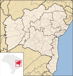 Location of Almadina in Bahia | |
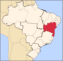
 Almadina Location of Almadina in Brazil | |
| Coordinates: 14°42′18″S 39°38′13″W / 14.70500°S 39.63694°WCoordinates: 14°42′18″S 39°38′13″W / 14.70500°S 39.63694°W | |
| Country |
|
| Region | Northeast |
| State |
|
| Founded | September 1, 1934 |
| Government | |
| • Mayor | Alba Gleide |
| Area | |
| • Total | 245.27 km2 (94.70 sq mi) |
| Elevation | 870 m (2,850 ft) |
| Population (2014) | |
| • Total | 6,234 |
| • Density | 25/km2 (66/sq mi) |
| Demonym(s) | Almadinense |
| Time zone | BRT (UTC-3) |
Almadina, Bahia is a municipality in the state of Bahia in the North-East region of Brazil. Almadina covers 245.27 km2 (94.70 sq mi), and has a population of 6,234 with a population density of 25 inhabitants per square kilometer.[1]
The municipality contains part of the 157,745 hectares (389,800 acres) Lagoa Encantada e Rio Almada Environmental Protection Area, created in 1993.[2]
See also
References
- ↑ "Almadina" (in Portuguese). Brasília, Brazil: Instituto Brasileiro de Geografia e Estatstica. 2015. Retrieved 2015-08-24.
- ↑ APA Lagoa Encantada e Rio Almada (in Portuguese), INEMA, retrieved 2016-10-26
This article is issued from Wikipedia - version of the 10/27/2016. The text is available under the Creative Commons Attribution/Share Alike but additional terms may apply for the media files.