Gowan, Minnesota
| Gowan, Minnesota | |
|---|---|
| Unincorporated community | |
 Gowan, Minnesota  Gowan, Minnesota Location of the community of Gowan | |
| Coordinates: 46°51′51″N 92°50′50″W / 46.86417°N 92.84722°WCoordinates: 46°51′51″N 92°50′50″W / 46.86417°N 92.84722°W | |
| Country | United States |
| State | Minnesota |
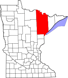
| County | Saint Louis |
| Township | Floodwood Township |
| Elevation | 1,263 ft (385 m) |
| Population | |
| • Total | 20 |
| Time zone | Central (CST) (UTC-6) |
| • Summer (DST) | CDT (UTC-5) |
| ZIP code | 55736 |
| Area code(s) | 218 |
| GNIS feature ID | 661373[1] |
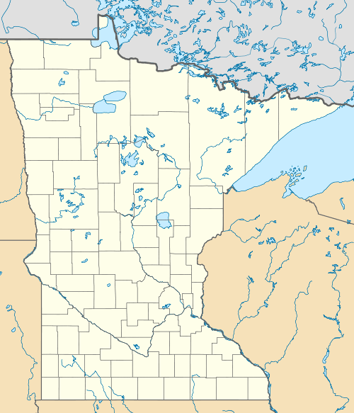
Gowan is an unincorporated community in Floodwood Township, Saint Louis County, Minnesota, United States.
The community is located five miles southeast of Floodwood at the intersection of U.S. Highway 2 and Saint Louis County Road 86 (Hingeley Road).
The Saint Louis River, McCarty Creek, and Mirbat Creek all flow through the community.
References
- Official State of Minnesota Highway Map - 2011/2012 edition
This article is issued from Wikipedia - version of the 7/28/2016. The text is available under the Creative Commons Attribution/Share Alike but additional terms may apply for the media files.