Hidden Spring, Idaho
| Hidden Springs | |
|---|---|
| Census-designated place | |
 Hidden Springs | |
| Coordinates: 43°43′20″N 116°15′03″W / 43.72222°N 116.25083°WCoordinates: 43°43′20″N 116°15′03″W / 43.72222°N 116.25083°W | |
| Country | United States |
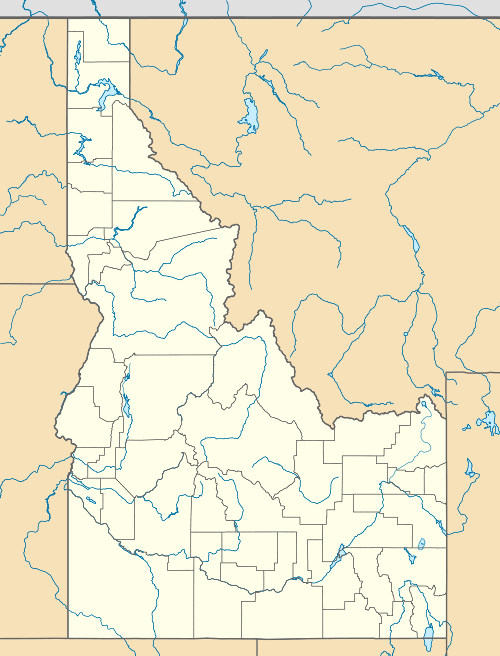
| State | Idaho |
| County | Ada |
| Area | |
| • Total | 2.536 sq mi (6.57 km2) |
| • Land | 2.524 sq mi (6.54 km2) |
| • Water | 0.012 sq mi (0.03 km2) |
| Elevation | 2,864 ft (873 m) |
| Population (2010)[1] | |
| • Total | 2,280 |
| • Density | 900/sq mi (350/km2) |
| Time zone | Mountain (MST) (UTC-7) |
| • Summer (DST) | MDT (UTC-6) |
| Area code(s) | 208 |
| GNIS feature ID | 2585573[2] |
Hidden Springs is a master-planned community and census-designated place in the Dry Creek Valley of Ada County, Idaho. Its population was 2,280 as of the 2010 census.[1]
The community manages more than 800 acres of permanently preserved open space[3] and its own wastewater treatment facility.
Architecture is primarily in a neo-traditional style, with many homes having garages accessible through rear alleys. The result is a neighborhood that is generally more pedestrian-friendly than the typical suburban subdivision.[4]
Hidden Springs Elementary School is located within the neighborhood.[5]
References
- 1 2 "American FactFinder". U.S. Census Bureau. Retrieved 23 March 2011.
- ↑ U.S. Geological Survey Geographic Names Information System: Hidden Spring, Idaho
- ↑ http://www.hiddensprings.com/Open_Space/
- ↑ http://www.hiddensprings.com/Governing_Documents/Residential_Design_Guidelines
- ↑ http://www.sd01.k12.id.us/schools/hiddensprings/
Municipalities and communities of Ada County, Idaho, United States | ||
|---|---|---|
| Cities | ||
| CDP | ||
This article is issued from Wikipedia - version of the 10/9/2015. The text is available under the Creative Commons Attribution/Share Alike but additional terms may apply for the media files.